Met Office Extends UK Amber Heat Warning Through Sunday

Get the Energy newsletter
Daily energy & climate — solar, EVs, oil, the policy fights and tech bets shaping the transition. Free.
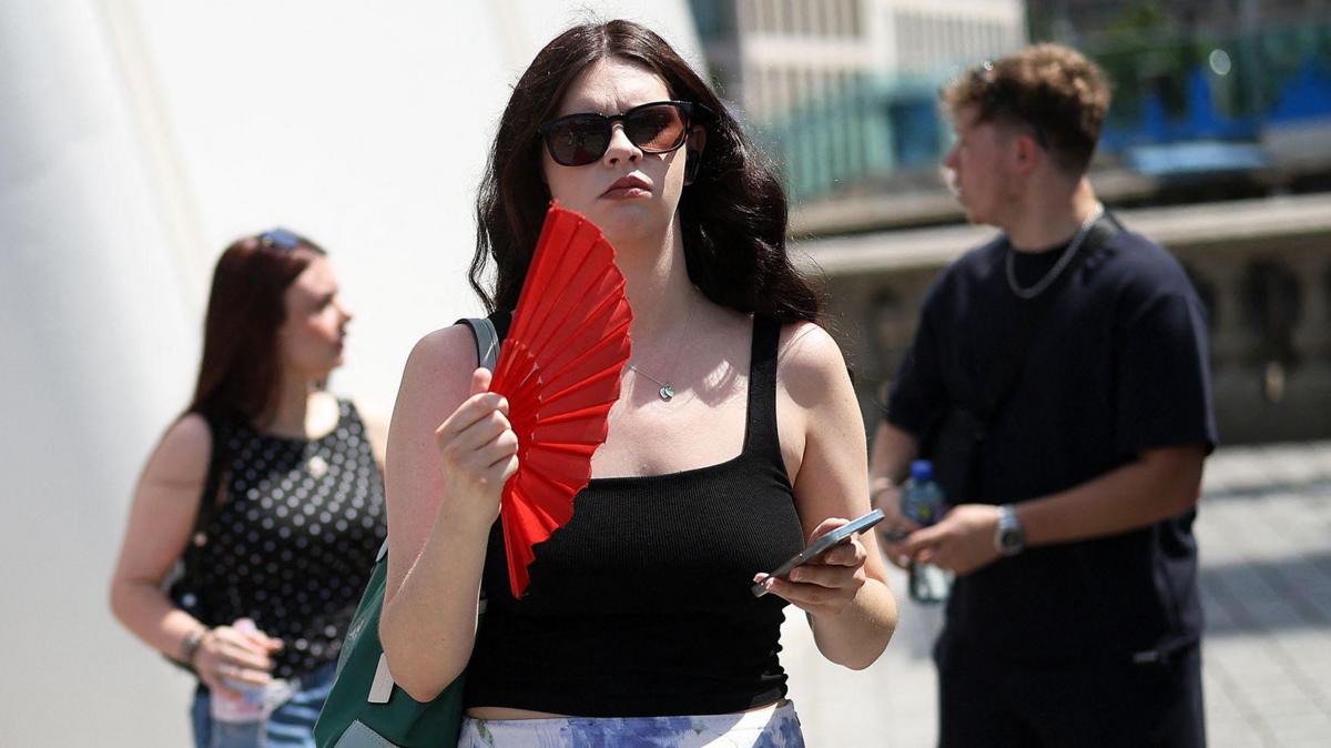
- The Met Office extended its amber extreme heat warning for south-east England and East Anglia until 09:00 BST on Sunday, with another hot and humid night expected in the region on Saturday.
- Cooler air is set to arrive by the second half of the weekend, ending the record-breaking heat, though eastern and south-eastern England will remain searingly hot throughout Saturday.
- High pressure responsible for the heatwave is retreating eastwards while low pressure to the north-west draws Atlantic weather fronts in, shifting winds from southerly to westerly.
- Saturday temperatures sat in the mid-to-high teens for much of the UK with around 20C overnight in eastern England, while central, eastern and south-east England hit the high twenties to low thirties with strong sunshine and isolated thunderstorms.
- Sunday marks the end of the heatwave for all regions: Scotland and Northern Ireland in the mid-to-high teens, England and Wales in the low twenties, though 27C remains possible in East Anglia.
- The UK has already seen two heatwaves this year, each setting new national monthly records, and the Met Office says a hotter summer is now twice as likely compared to the beginning of the century.
- Long-term forecasts for the next two months point to significant bursts of heat and above-average temperatures, with meteorological autumn not beginning until 1 September.
Why it matters: Eastern England faces one final day of extreme heat before a much-needed cooldown, but the Met Office's own long-range outlook signals repeated pressure ahead: two monthly heat records have already fallen this year and above-average temperatures are favoured through August, meaning infrastructure, public health services, and energy systems must plan for recurring heat spikes rather than a one-off event.