Map Links Ammonia Hotspots to UK Pig and Poultry Farms

Get the Energy newsletter
Daily energy & climate — solar, EVs, oil, the policy fights and tech bets shaping the transition. Free.
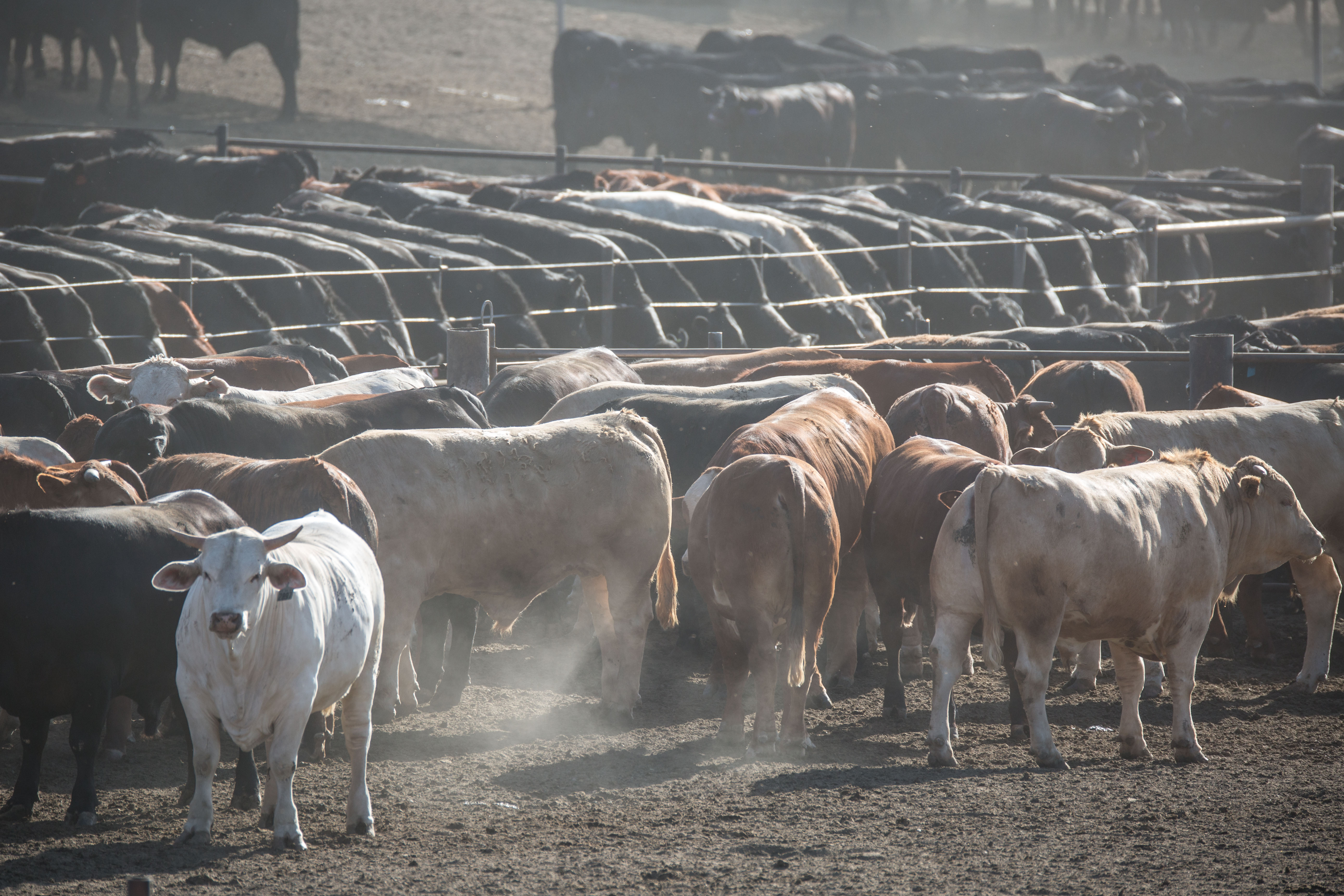
- Compassion in World Farming (CiWF) and Sustain released a map showing the most severe ammonia emissions clustered in Lincolnshire, Herefordshire, and Norfolk, regions with high densities of intensive pig and poultry farms.
- UK agriculture is responsible for 89% of national ammonia emissions, a nitrogen-based gas primarily released from livestock manure and used in fertilizer production.
- Industrial intensive animal farming increases environmental and health burdens linked to ammonia, according to CiWF’s report published alongside the map.
- The UK government is attempting to rewrite planning rules to make it easier to build intensive livestock farms, despite concerns about air and water pollution and local opposition.
Why it matters: The map directly ties ammonia pollution — a major public health and ecological hazard — to specific industrial farming regions, while the government’s push to expand such operations risks worsening air quality in already affected areas. This creates tension between agricultural policy and environmental protection, with rural communities and ecosystems bearing the immediate burden.