Typhoon Dolphin set to hit China’s east coast, triggering flood warnings — SkimNews
Get the Geopolitics newsletter
Daily geopolitics — wars, elections, sanctions, the diplomatic moves that move markets. Free.
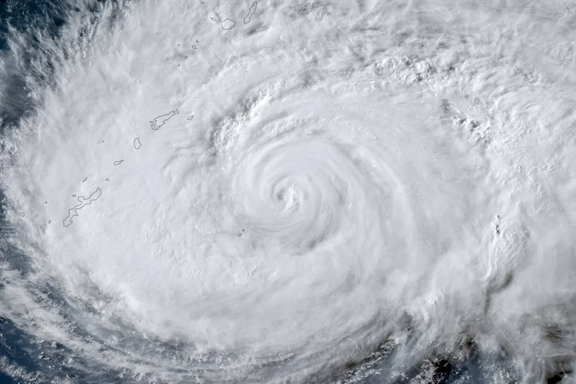
- Typhoon Dolphin made landfall on China's east coast overnight on August 9 as a Category 2 storm with sustained winds of up to 162 km/h, the most powerful typhoon to strike China so far in 2026
- Japan's Okinawa prefecture reported Dolphin injured six people and cut power to more than 50,000 buildings before the storm tracked toward China
- Eastern China evacuated more than one million people, with Shanghai relocating at least 30,300 residents and cancelling approximately 1,500 flights
- Wenzhou, Zhejiang relocated more than 900,000 residents and opened more than 1,000 emergency shelters
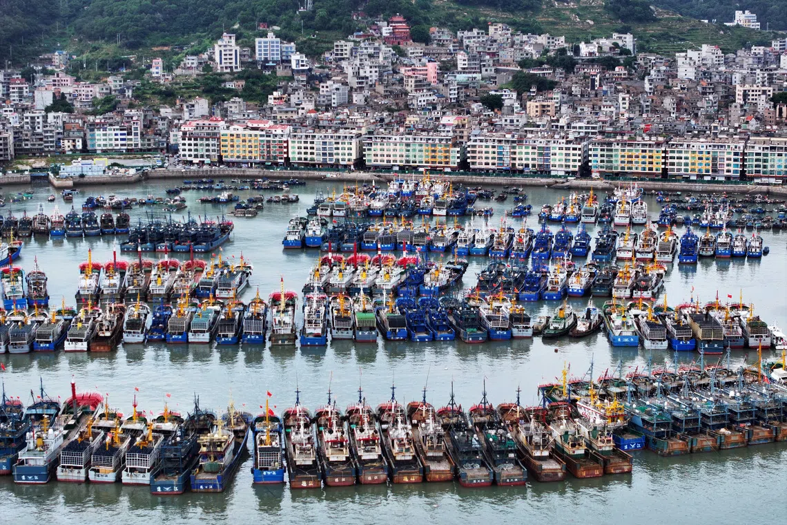
- Fujian province evacuated 98,900 people from high-risk areas, suspended 55 coastal ferry routes, halted all 115 offshore construction projects and moved 290 vessels to sheltered waters
- Shanghai's Yangshan port cleared ships from berths and moved more than 500 small and medium-sized vessels to shelter ahead of the storm
- Wang Haiping, chief forecaster at China's National Meteorological Centre, told CCTV Dolphin would track west and slow over central and southwestern China after landfall, with parts of central and eastern Zhejiang forecast to receive 250-500mm of rain
Why it matters: With more than one million evacuated across four provinces and Dolphin forecast to slow over central and southwestern China, prolonged rainfall in mountainous areas and along smaller rivers extends flood and landslide risk well beyond the coast. The clearance of Shanghai's Yangshan port — a major global container hub — and roughly 1,500 cancelled flights translate the storm into immediate supply-chain and travel disruption across eastern China.
Ask SkimNews