Typhoon Bavi Targets Taiwan, China With 200km/h Winds — SkimNews
Get the Energy newsletter
Daily energy & climate — solar, EVs, oil, the policy fights and tech bets shaping the transition. Free.
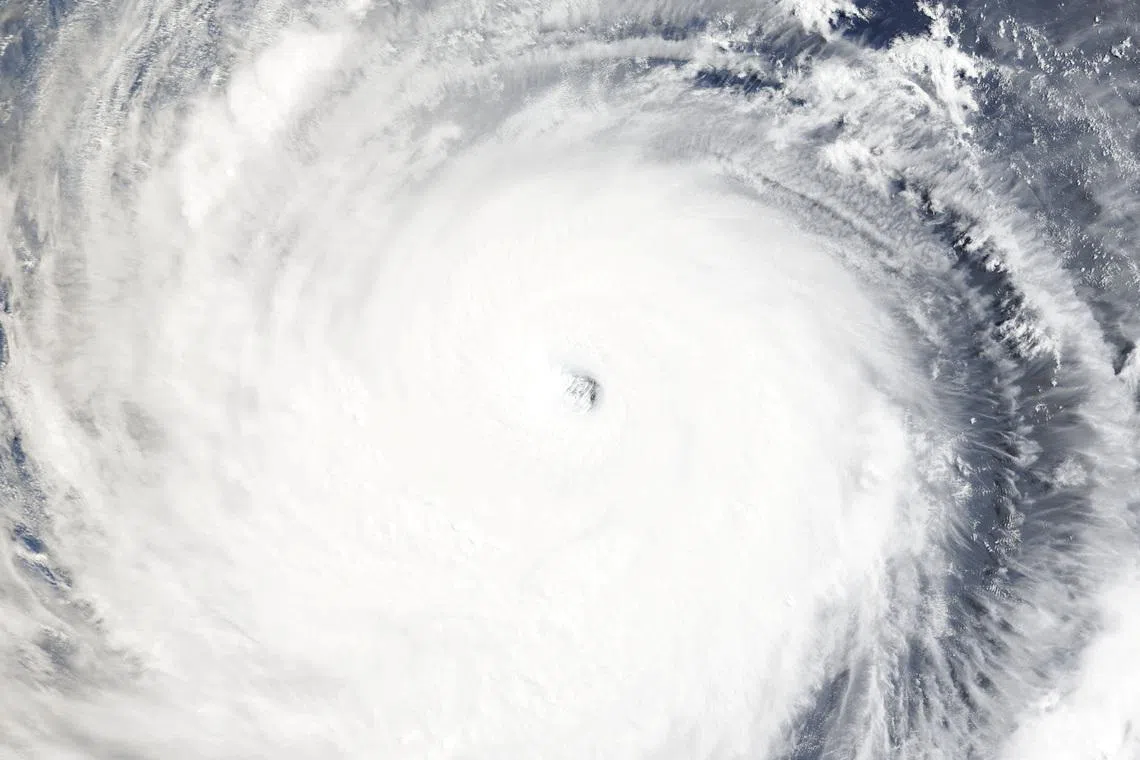
- Typhoon Bavi was churning southeast of Taiwan on July 9 with winds just shy of 200km/h and a width of roughly 1,000km — about the size of France — and was forecast to make landfall in China's Fujian province on the evening of July 11.
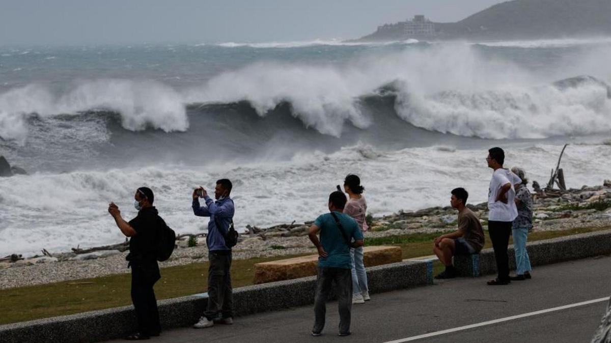
- Taiwan's Central Weather Administration forecaster Jason Chang said Bavi would be the largest storm by size to hit Taiwan since 1987, noting storms of that scale have been 'fairly rare in recent years.'
- AccuWeather said if Bavi holds intensity, it would be the most powerful typhoon since Super Typhoon Kong-rey in 2024, with impacts spanning July 10 through July 13.
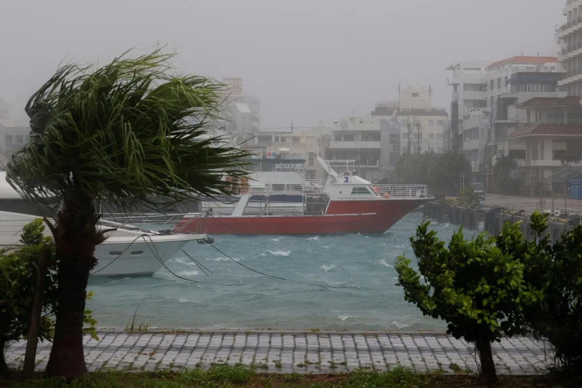
- Japan's meteorological agency urged Okinawa residents to stay on high alert July 10–11 for violent winds, landslides, flooding, and storm surges.
- President Lai Ching-te posted on Facebook urging Taiwanese to stockpile supplies and shared a video showing how to assemble a three-day emergency grab bag.
- Xiangbo Feng of Imperial College London warned Bavi spent a long time intensifying over open Pacific waters and accumulating moisture, meaning 'the damage could be catastrophic' when it reaches the coast.
- Meteorologists link rising typhoon activity in the region to climate change and flag the expected emergence of El Niño in 2026 as a driver of more frequent and intense storms.
Why it matters: Three jurisdictions — Taiwan, China's Fujian province, and Japan's Okinawa — sit directly in Bavi's path from July 10–13, with the storm roughly France-sized and the largest to hit Taiwan since 1987. Separately, meteorologists flag 2026's emerging El Niño as likely to fuel more frequent and intense typhoons across the region beyond this single system.
Ask SkimNews