Cold Front Brings 15°C Drop, Rain to Western Europe — SkimNews

Get the Energy newsletter
Daily energy & climate — solar, EVs, oil, the policy fights and tech bets shaping the transition. Free.
- A cold front moving in from the Atlantic on Monday night into Tuesday drops temperatures more than 15°C from the previous Thursday's peak, pushing parts of the UK about 3°C below seasonal normal by Thursday.
- Wisley, Surrey had recorded 62 consecutive days without rainfall as of Monday, with the last measurable rainfall on 16 June amounting to just 0.4mm at the Met Office weather station.
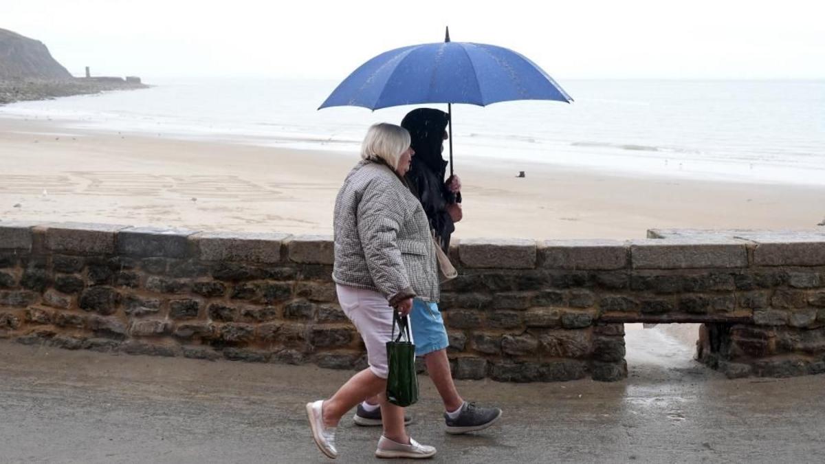
- Low pressure crossing the UK from Wednesday into the weekend brings frequent sharp showers and potentially thundery downpours, with the article noting that even modest bursts will make 'a noticeable difference to the environment' after the prolonged dry spell.
- The cold front sinks southward into France and Germany on Wednesday, turning continental Europe wetter, though rainfall in southern areas remains dependent on hit-and-miss showers and thunderstorms from Thursday onward.
- Southern US states have extended extreme heat warnings with overnight lows not falling below 27-28°C (low 80s°F), as the National Weather Service warns of 'dangerously hot conditions' with daytime heat index values forecast to exceed 46°C across Louisiana and Mississippi.
Why it matters: The 15°C swing brings the first substantial rainfall to southern England since mid-June, breaking a 62-day dry streak and offering environmental relief to drought-stressed regions, while the US South faces the opposite extreme — heat index values above 46°C driven by 27-28°C overnight lows and high humidity that prevents any cooling.
Ask SkimNews