Satellite images show Gaza in ruins three years into Israel’s genocidal war — SkimNews

Get the Geopolitics newsletter
Daily geopolitics — wars, elections, sanctions, the diplomatic moves that move markets. Free.
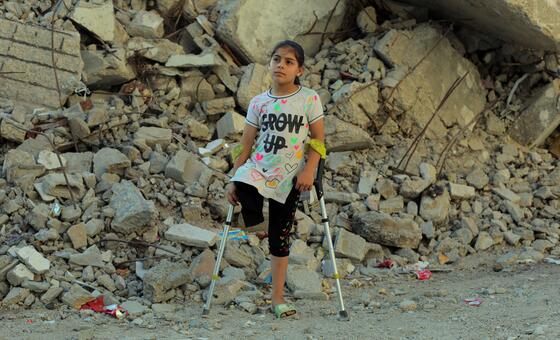
- Google Maps updated satellite images show extensive destruction across Gaza, revealing neighborhoods reduced to rubble and farmland charred beyond recognition.
- UNOSAT assessed that 82 percent of structures in Gaza—around 200,000 buildings—have been damaged, with about two-thirds fully destroyed.
- Rafah’s Tal as-Sultan neighborhood has been almost entirely erased, with satellite images showing only sand where densely populated residential areas once stood.
- Al-Mawasi, declared a humanitarian zone by Israel, is now overcrowded with tents after repeated Israeli bombings displaced hundreds of thousands into the area.
- Indonesian Istiqlal Mosque in Khan Younis was destroyed during the war, despite having reopened less than two years prior, reflecting widespread damage to cultural and religious sites.
- Gaza City’s port has been severely damaged and most fishing boats destroyed, crippling an industry that once supported approximately 110,000 people, according to the UN Food and Agriculture Organization.
- Jabalia refugee camp in North Gaza has been leveled, with satellite images showing entire blocks reduced to rubble amid repeated Israeli military operations and aid restrictions.
Why it matters: The scale of destruction documented by satellite imagery underscores a humanitarian catastrophe: 82% of Gaza’s built environment is damaged or gone, displacing most of its population and eliminating critical infrastructure like ports and farms. With over 74,000 killed and 1,400 more dead since last year’s ceasefire, civilian survival depends on aid in a landscape increasingly uninhabitable.
Ask SkimNews