France Records First Radar-Detected 'Fire Cloud' Over Gironde — SkimNews

Get the Energy newsletter
Daily energy & climate — solar, EVs, oil, the policy fights and tech bets shaping the transition. Free.
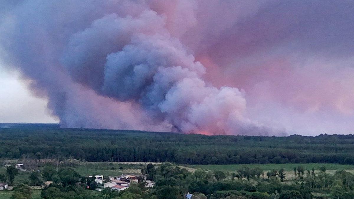
- A pyrocumulonimbus cloud was detected by radar over France for the first time, forming over the Gironde wildfire on 24 and 25 July and spawning lightning and embers that ignited new blazes beyond the main fire front.
- The Gironde wildfire has burned more than 420 square kilometres since last week, advanced within 15 kilometres of Bordeaux, forced roughly 220,000 evacuations, and prompted President Emmanuel Macron to call it France's worst crisis since the second world war.
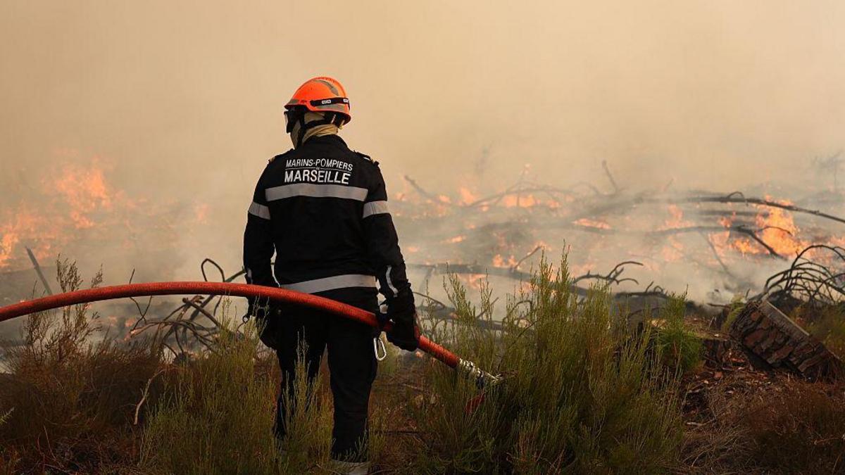
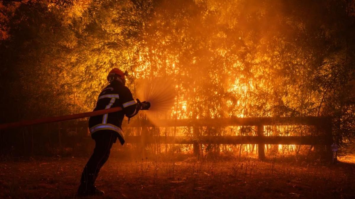
- Gironde prefect Sophie Brocas told journalists firefighters had "entered a new dimension" facing firestorms previously unseen in France, with University of Corsica researcher Jean-Baptiste Filippi calling it a miracle no casualties occurred.
- Pyrocumulonimbus updrafts pull in air and fan flames with winds reaching 160 km/h, accelerating fire spread by up to five times, while downdrafts carry embers up to 100 kilometres away to ignite new fires, Filippi said.
- Francesca Di Giuseppe at the European Centre for Medium-Range Weather Forecasts said the phenomenon requires an extreme heat source combined with an unstable atmosphere, and warned Europe — the fastest-warming continent — will see more of these events as fire-driven heat rises.
- The phenomenon has previously been confirmed mostly in North America, Siberia and Australia, with Canada's record-breaking 2023 wildfire season generating 142 such storms; only a handful have previously hit Spain and Portugal.
Why it matters: The first radar confirmation of a pyrocumulonimbus in France signals these self-propagating firestorms — historically confined to North America, Siberia and Australia — are migrating into Mediterranean wildfire zones as Europe warms fastest. The Gironde fire's 160 km/h wind speeds and ember throws reaching 100 km ahead make containment nearly impossible, with Brocas saying the fire front "is constantly shifting" beyond what current firefighting can target.
Ask SkimNews