France Battles First-Ever Fire-Generated Thunderstorms — SkimNews
Get the Energy newsletter
Daily energy & climate — solar, EVs, oil, the policy fights and tech bets shaping the transition. Free.
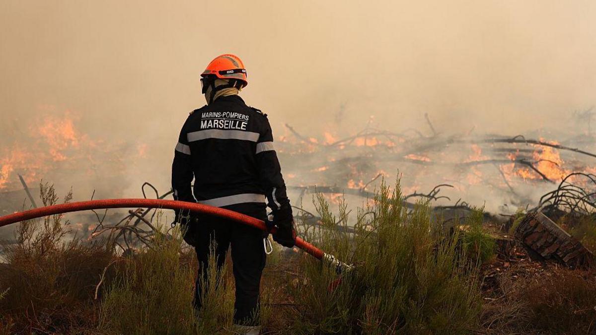
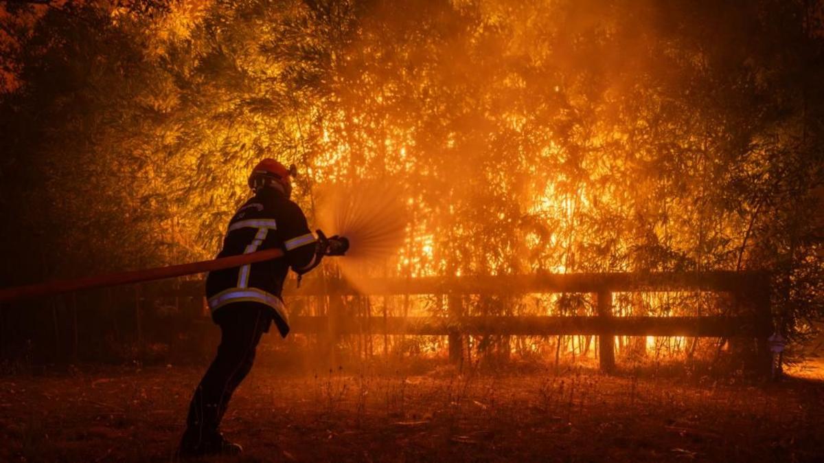
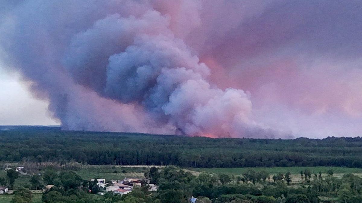
- French firefighting authorities blamed pyrocumulonimbus fire clouds for the Gironde blazes near Bordeaux, saying the phenomenon had never before been seen in France and has forced tens of thousands of evacuations.
- The Gironde wildfire will likely burn "for many weeks" and could take months to fully extinguish, a senior official involved in the response warned.
- Pyrocumulonimbus clouds form when wildfire heat rapidly lifts smoke, ash and water vapor into the atmosphere, condensing into towering cumulonimbus storms that hurl embers in all directions and ignite new blazes with lightning.
- A second heatwave is forecast later this week with highs of 40C (104F) in France, threatening to complicate ongoing firefighting efforts after the Gironde prefecture said the situation remained "broadly stable" overnight.
- During Australia's 2019-2020 Black Summer, pyrocumulonimbus hurled embers 30km ahead of the fire front — three times the usual distance — killing at least 33 people and burning more than 11 million hectares of bush, forest and parks.
- NASA described pyrocumulonimbus as "the fire-breathing dragon of clouds" during the Australian fires, while California's 2021 season generated similar smoke clouds towering a mile above the blazes, with more than 7,300 wildfires scorching 1 million hectares and killing at least three firefighters.
Why it matters: French officials say pyrocumulonimbus had never before been seen in the country, yet one is now driving a wildfire that a senior official warns could burn for months — and a 40C heatwave is forecast later this week. With scientists linking the rise of such fire-generated thunderstorms to climate change, European firefighting capacity built for a less extreme baseline is being tested in real time.
Ask SkimNews