Thermal Drones Hunt Hidden Fires Beneath Cairngorms — SkimNews

Get the Energy newsletter
Daily energy & climate — solar, EVs, oil, the policy fights and tech bets shaping the transition. Free.
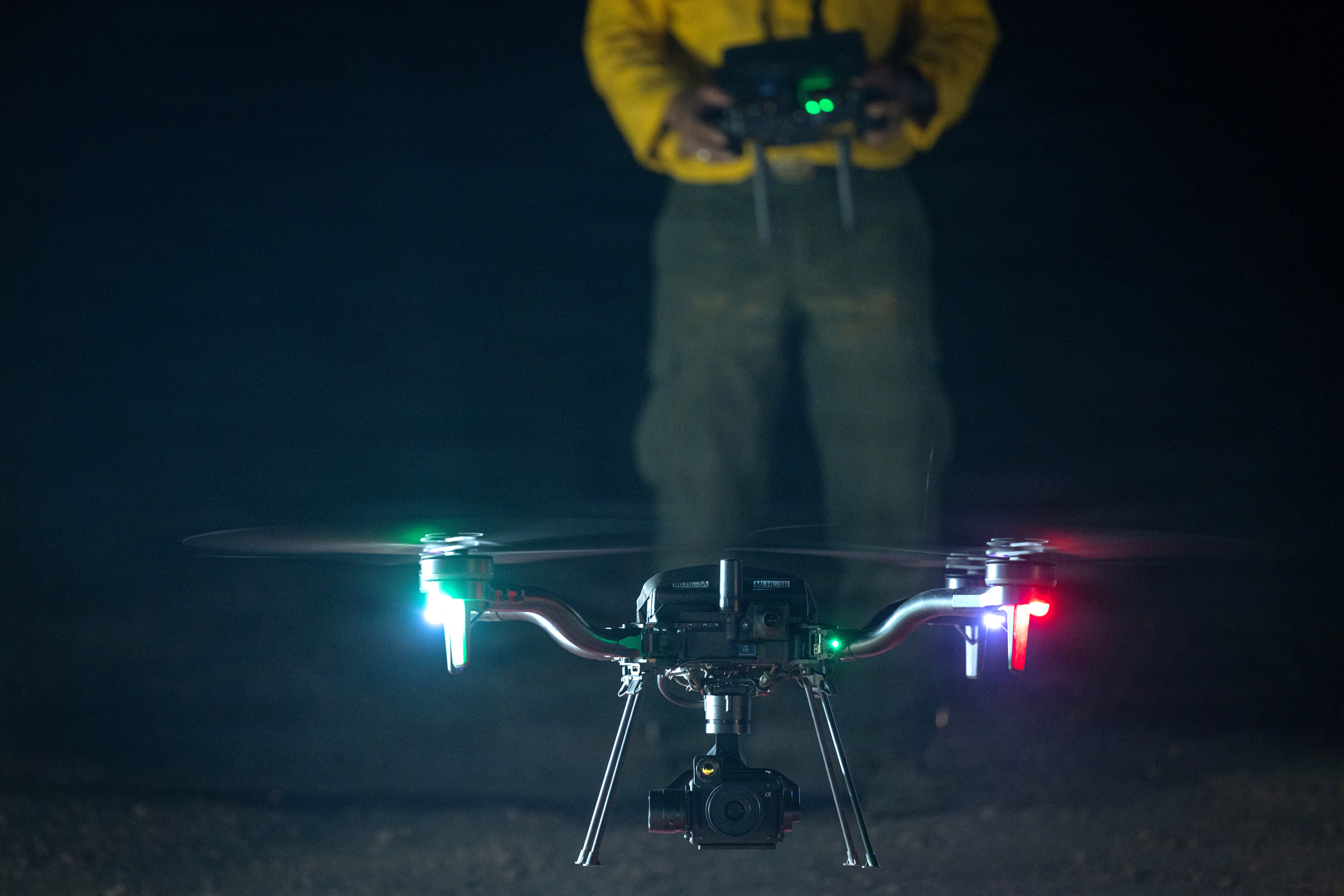
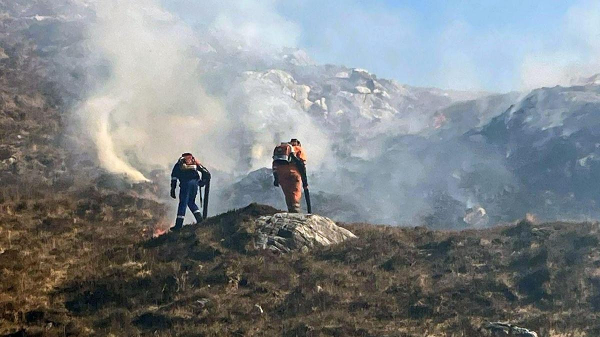
- Drone pilot Pete Short found eight hidden hot spots during his last thermal flight in the Cairngorms, where soil and rocks remain warm beneath the surface three months after a July wildfire burned 3,300 hectares (33 sq km).
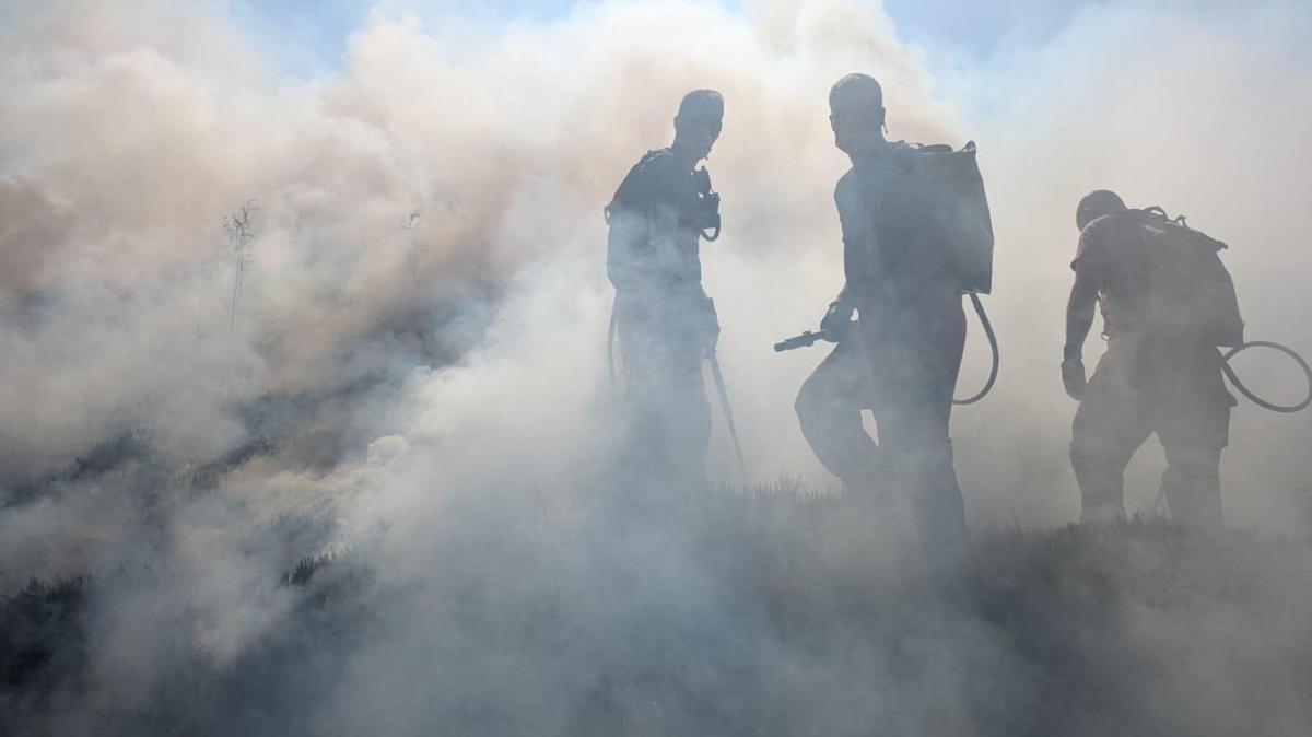
- Five experienced drone pilots were brought together at the height of the July wildfire to provide aerial information to firefighting agencies, navigating what Short described as "multiple walls of flame," personnel, vehicles, and overhead helicopters.
- Ben Jones, RSPB senior site manager at Abernethy, said precise hot spot identification is critical because limited resources mean ground teams cannot be sent everywhere, and each undetected hot spot "has the potential to reignite a larger fire."
- Conservationists are programming drones to fly identical routes over the damaged landscape monthly and yearly using predetermined waypoints, building a photographic record of ecological recovery.
- Dr Sarah Henshall, head of conservation at Cairngorms National Park Authority, said the full ecological impact is unknown and recovery "will take years, decades, or even beyond our lifetime," though green shoots, fungi, and yellow flowers are already visible in the blackened soil.
- Pete Short believes getting a view above the tree canopy quickly during the early stages of a wildfire could prove critical to stopping it before it spreads out of control.
Why it matters: The Cairngorms fire burned 3,300 hectares and required five drone pilots working with fire agencies during the emergency. With limited ground-team resources across the park, thermal drones now pinpoint exactly where subsurface fires still burn — stopping individual hot spots from reigniting the wider blaze while creating a multi-year photographic record of how the damaged ecosystem recovers.
Ask SkimNews