Gutweed Maps Pollution at Charmouth Beach

Get the Energy newsletter
Daily energy & climate — solar, EVs, oil, the policy fights and tech bets shaping the transition. Free.
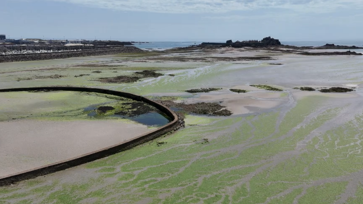
- Gutweed (Ulva intestinalis) carpets the rocks near the River Char mouth at Charmouth as a rippling mono-pelt of bright green, an organic indicator of nutrients from sewage and agricultural runoff
- Charmouth beach carries council E. coli warning signs at the river outflow, though the seawater is officially designated safe for bathing
- Bar Ledges, west of the river, shows a richer seaweed community — brown wrack, kelp and red coral weed intermingling — none of which responds as prolifically to excess nitrogen
- Copepods shelter by the hundreds inside a single hollow gutweed frond, which retains moisture and offers refuge to microscopic crustaceans that would otherwise perish when the tide drops
- Mesophyllum lichenoides (pink plates), a chalky coralline species, encrusts boulders at Bar Ledges and visually echoes the ammonite fossils set in the Blue Lias rock beneath
Why it matters: The visible gradient of gutweed at Charmouth turns the shoreline into a free, real-time water-quality map. Even with the bathing water officially designated safe and council E. coli signs posted near the river mouth, the shift from a pollution-fed mono-pelt at the outflow to diverse wrack and kelp communities at Bar Ledges lets visitors read nutrient loading with the naked eye.
Ask SkimNews