How We Tracked the Lithium Rush — SkimNews
Get the Energy newsletter
Daily energy & climate — solar, EVs, oil, the policy fights and tech bets shaping the transition. Free.
- Columbia Journalism Investigations assembled a global lithium project dataset covering 150+ sites in 30+ countries, drawing on S&P Global, GlobalData, and government filings.
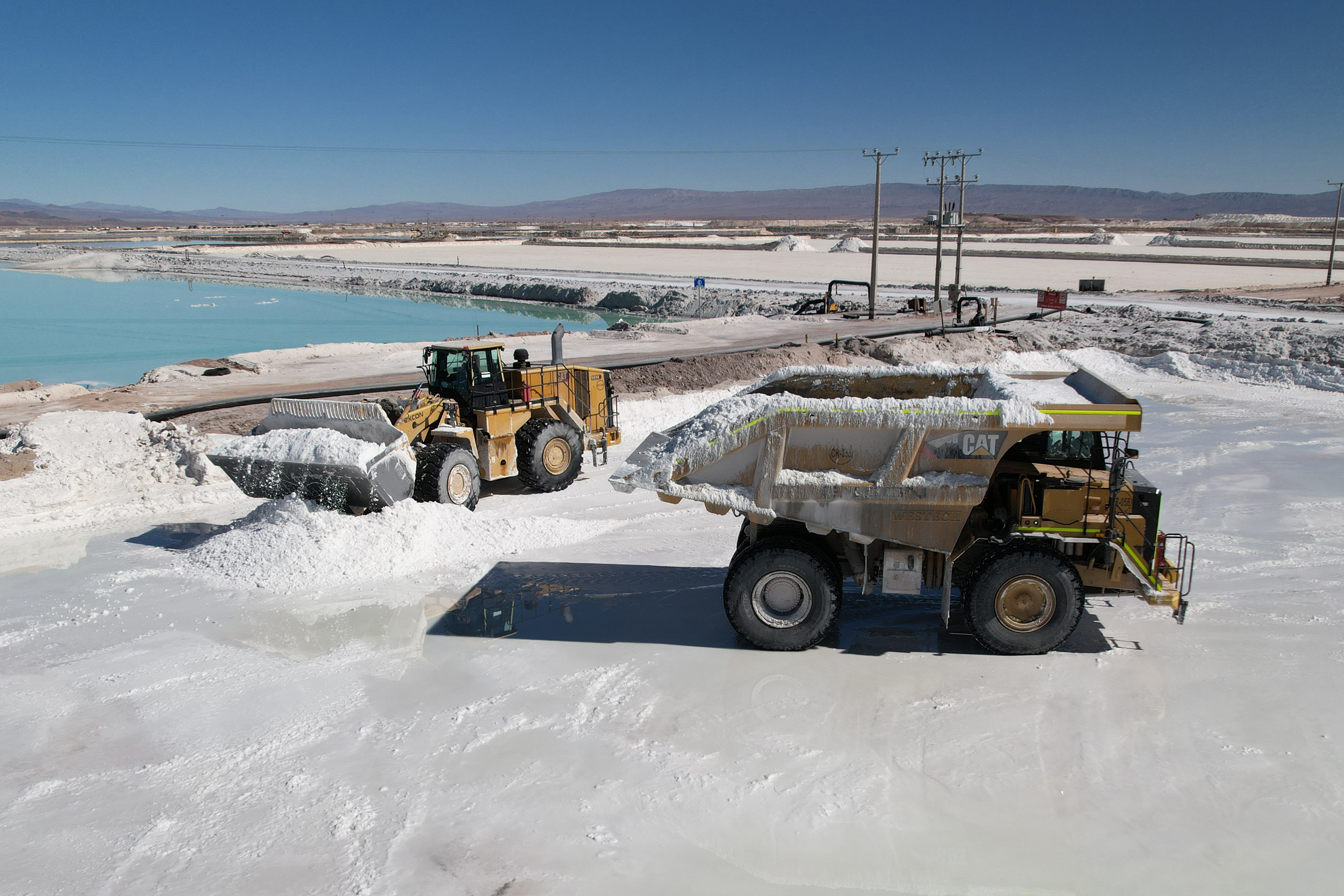
- S&P Global supplied core data on operating, planned, and early‑stage lithium mines, which the team cross‑checked with company reports and investor questionnaires.
- CDC’s Social Vulnerability Index was applied to U.S. counties near the projects, flagging 200+ high‑risk communities for potential health and environmental harms.
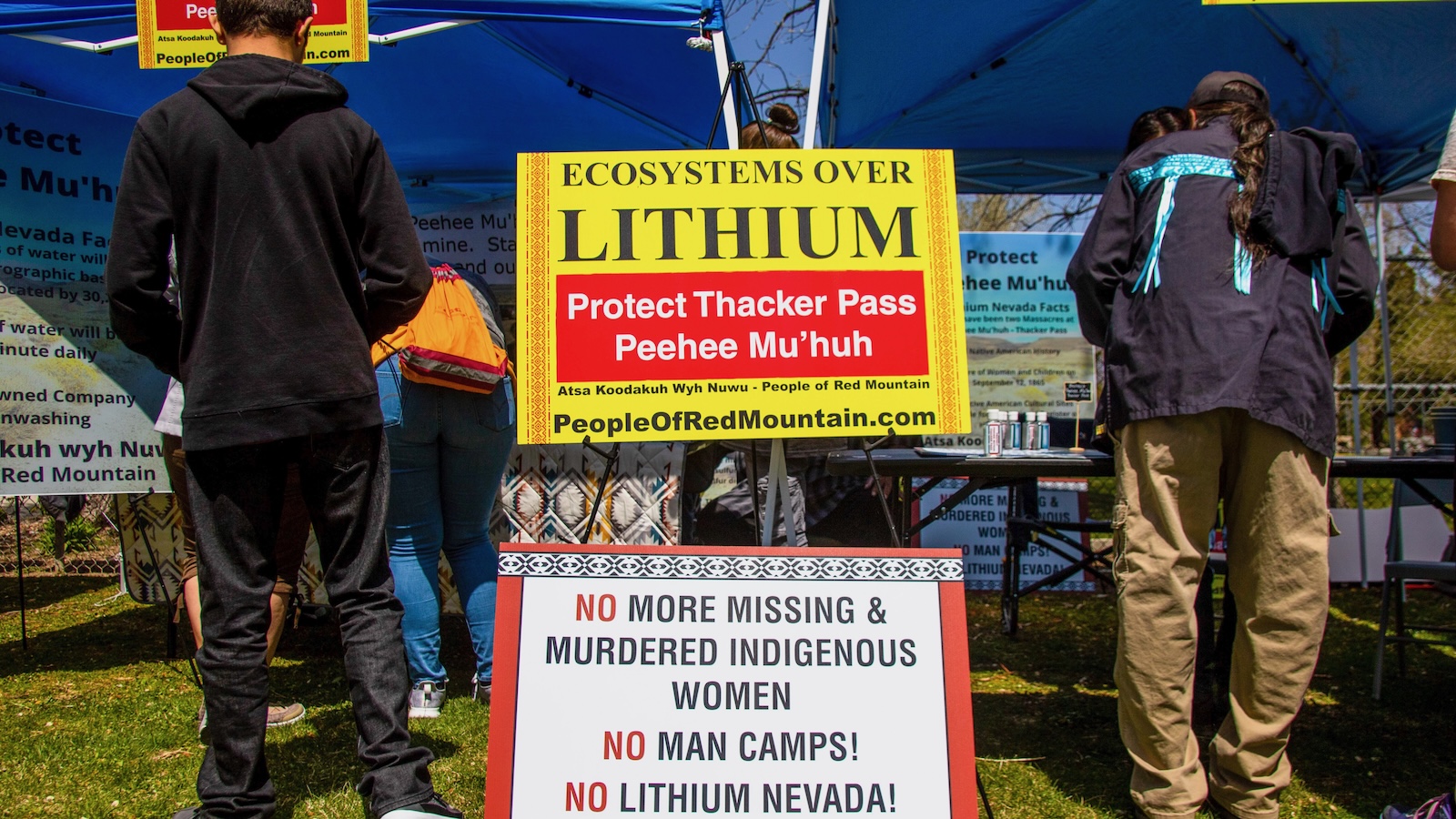
- Stephen T. Garnett’s Indigenous lands map identified over 2,000 Indigenous territories intersecting with lithium sites, exposing possible conflicts over land rights.
- Protected Planet data added 500+ protected areas within a 10‑km impact zone around each mine, informing environmental risk assessments.
Why it matters: Communities near 150+ lithium sites, especially Indigenous and high‑vulnerability counties, face heightened exposure to mining, while investors gain clearer risk insight, shifting capital toward greener supply chains.
Ask SkimNews