Tangier Island Losing 32 Feet of Land Per Year to Rising Seas — SkimNews
Get the Energy newsletter
Daily energy & climate — solar, EVs, oil, the policy fights and tech bets shaping the transition. Free.
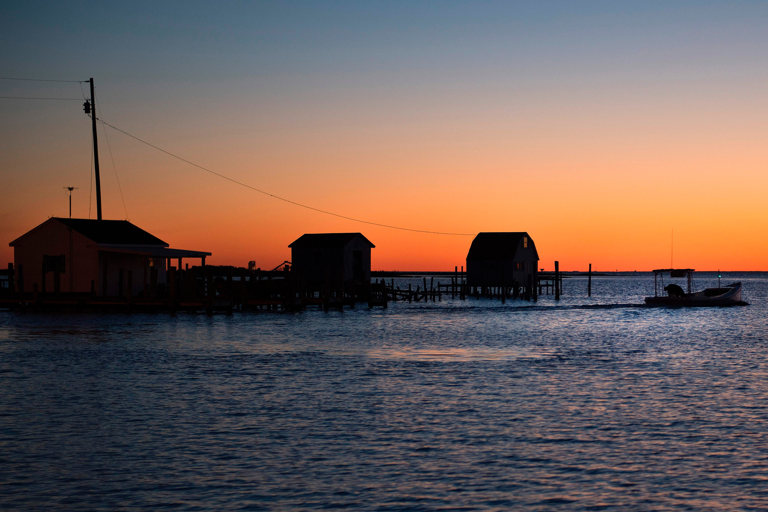
- Tangier Island has lost two-thirds of its land mass since 1850, and a 2015 Nature study predicted the archipelago could become uninhabitable by 2065.
- Tangier's population dropped from 436 to about 250 in six years, with older residents dying and younger people moving to the mainland in search of jobs.
- The island loses land at a rate of 32 feet per year in some areas, with about 750 acres remaining, according to BayLand research.
- The U.S. Army Corps of Engineers built a 5,700-foot seawall in 1990 and a jetty in 2021, and received approximately $17.1 million for dredging between 2023 and 2025.
- Mayor James "Ooker" Eskridge, who once debated Al Gore on CNN claiming sea level rise wasn't responsible, now acknowledges the climate is changing but stops short of blaming fossil fuel emissions.
- Sea levels could be 1.71 feet higher than 1992 levels by 2050, per BayLand water resources engineer Evan Mazur, as post-glacial land subsidence compounds with climate-driven ocean rise.
Why it matters: Tangier Island could become the first inhabited U.S. community displaced by climate change, with its 250 remaining residents — many elderly and tied to generations-old family burial sites — facing potential relocation well before the 2065 uninhabitability projection. Tens of millions in federal and nonprofit investment may only delay rather than prevent that outcome.
Ask SkimNews