Typhoon Dolphin Hits China as Year's Strongest Storm — SkimNews

Get the Energy newsletter
Daily energy & climate — solar, EVs, oil, the policy fights and tech bets shaping the transition. Free.
- Typhoon Dolphin made landfall near Yuhuan in Zhejiang province at about 5:30pm Sunday with maximum sustained winds of 94mph (151 km/h), equivalent to a category 1 hurricane, making it the most powerful tropical cyclone to hit China this year
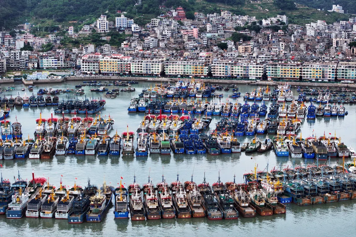
- Shanghai cancelled about 1,500 flights and evacuated at least 30,300 people, while the Yangshan port cleared ships and moved more than 500 small and medium-sized vessels to shelter
- More than one million people were evacuated from their homes across eastern China, including 900,000 relocated by Wenzhou city alone, which opened over 1,000 emergency shelters
- Fujian province evacuated 98,900 people from high-risk areas, suspended 55 coastal passenger ferry routes, halted all 115 offshore construction projects, and moved 290 construction vessels to sheltered waters
- The National Meteorological Centre warned parts of central and eastern Zhejiang could receive 250–500 mm of rain, with chief forecaster Wang Haiping telling CCTV the storm was expected to slow over central and southwestern China, prolonging flooding and landslide risks
- Okinawa prefecture in southern Japan took an early hit — Dolphin injured six people and cut power to more than 50,000 buildings before crossing to the Chinese coast
Why it matters: More than a million evacuations, 1,500 cancelled flights, and a major commercial port shut down for a category 1-equivalent storm highlight how China's densely populated eastern seaboard absorbs massive logistical costs each typhoon season. The forecaster's warning of a westward slowdown over central and southwestern China signals a longer flooding window across multiple inland provinces after the coastal hit.
Ask SkimNews