Tesla Maps Miami Robotaxi Zone While Austin Fleet Shrinks
Get the Energy newsletter
Daily energy & climate — solar, EVs, oil, the policy fights and tech bets shaping the transition. Free.
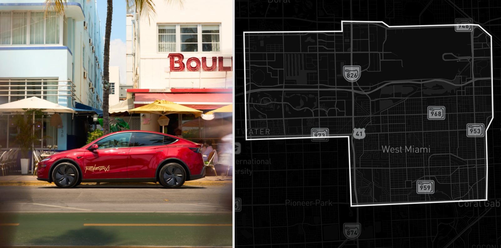
- Tesla published a Miami Robotaxi geofence bounded by SR-826 (the Palmetto) to the north and US-41 to the south, covering only West Miami, Doral, and Sweetwater — and excluding downtown Miami, Miami Beach, the airport, and most of Miami-Dade.
- Austin's Robotaxi service, launched in June 2025, still runs roughly 50 vehicles a year later, with the unsupervised portion shrinking from a peak of about 25 down to roughly 14 active cars.
- Despite Tesla expanding its service map to cover the entire Austin metro, wait times routinely stretch past 15 minutes, and in more than a quarter of checks no cars are available at all.
- Elon Musk told investors on Tesla's Q1 2026 earnings call that safety validation is the limiting factor for Robotaxi expansion, with the company holding back until improvements arrive in a rewritten FSD v15.
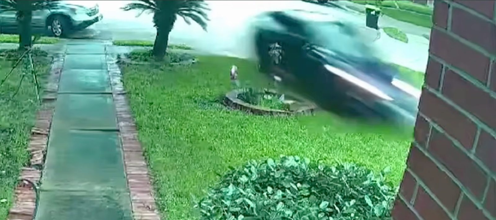
- Independent analysis pegs Tesla's crash rate at roughly four times worse than the average human driver, and the company has reported a string of Austin crashes to NHTSA.
- Miami was originally listed among five US cities Tesla targeted for first-half 2026 launches — alongside Phoenix, Orlando, Tampa, and Las Vegas — but the timeline has softened from "1H 2026" to "preparations underway."
Why it matters: Tesla's autonomy narrative carries a large share of its valuation, but a year after the Austin launch the unsupervised fleet is shrinking, Musk is tying further expansion to an unproven FSD v15, and independent analysis pegs Tesla's Austin crash rate at roughly four times the human baseline — meaning each new geofence draws a polygon the company can't yet fill.