Tyrella Beach launches NI's first CoastSnap photo station — SkimNews
Get the Energy newsletter
Daily energy & climate — solar, EVs, oil, the policy fights and tech bets shaping the transition. Free.
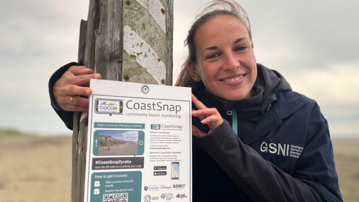
- Tyrella Beach in County Down became the first CoastSnap photo spot in Northern Ireland, with a steel cradle mounted on a fence post that holds a phone at a fixed angle to photograph the upper beach.
- Melanie Biausque, a geomorphologist with Geological Survey Northern Ireland, leads the NI branch of the project after learning of local volunteers' sand dune restoration work through a presentation to Newry, Mourne and Down council.
- The project is part of CoCor (Co-creating Coastal Resilience), a global initiative that began in Australia, and the NI branch is funded by the Department for the Economy with more sites planned.
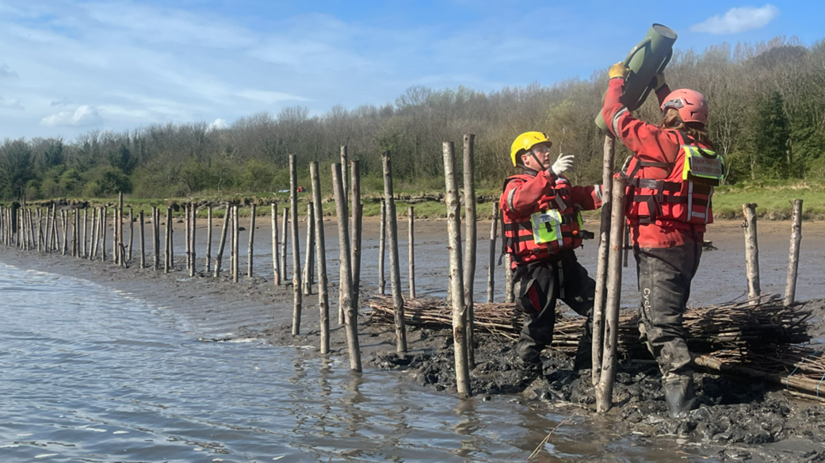
- Tyrella was chosen because local volunteers had already spent years restoring its dunes — collecting marram grass seeds, planting seedlings, and installing protective fencing and signage.
- Biausque said scientists are preparing for "big" changes from sea level rise and more frequent storms driven by climate change, and need repeat photos from the same vantage over months and years to model how the coast responds.
- Participation is anonymous: visitors snap a photo, scan a QR code on the sign below, and upload to the CoastSnap website, with optional fields for logging observed erosion or vegetation changes.
- Open days will be held to demonstrate how to get involved, and the project will run across all seasons to capture seasonal variation.
Why it matters: Biausque's team gains the multi-year photographic baseline researchers say they need to distinguish natural shoreline shifts from climate-driven erosion as sea levels rise and storms intensify. By anchoring at a beach with active volunteer dune restoration, the project tests whether citizen monitoring and community stewardship can co-produce coastal data over time.
Ask SkimNews