Strong winds and thunderstorms kick off the bank holiday weekend — SkimNews

Get the Energy newsletter
Daily energy & climate — solar, EVs, oil, the policy fights and tech bets shaping the transition. Free.
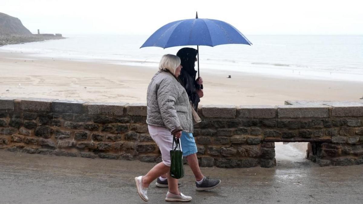
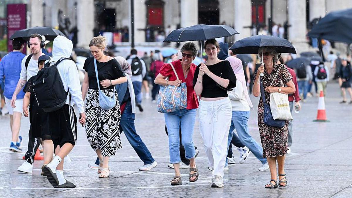
- Heavy showers and thunderstorms are forecast to sweep across parts of the UK on each day of the bank holiday weekend, with Saturday bringing several zones of rain especially across England and Wales.
- Southern England and Wales face the highest thunderstorm risk, with some showers potentially torrential — and parts of the Midlands and northern England are flagged for flash flooding given this week's prior downpours.
- Scotland and Northern Ireland are expected to stay largely dry across the weekend, with north and west Scotland potentially seeing very little rainfall at all.
- Gusts of 40-50mph are forecast Saturday across southern counties of England and Wales plus the Channel Islands, making Monday a blustery day more widely with 30-40mph gusts in southern areas.
- Weekend temperatures across the UK will sit at 15-22°C, described as a shade below the late-August average, ending a run of scorching heat and drought.
- Major outdoor events including Reading and Leeds, Creamfields and the Notting Hill Carnival fall within the affected window, with travel and camping expected to be challenging.
Why it matters: Millions of festivalgoers, campers and travellers across southern England and Wales face disruption from 40-50mph gusts and potential flash flooding in the Midlands — a sharp reversal from the summer's record heat and drought. The Notting Hill Carnival, Reading and Leeds, and Creamfields all sit in the affected window, with temperatures running below the late-August average rather than continuing the scorching conditions of recent weeks.
Ask SkimNews