Europe's Heatwave Scars Seen from Space — SkimNews
Get the Energy newsletter
Daily energy & climate — solar, EVs, oil, the policy fights and tech bets shaping the transition. Free.
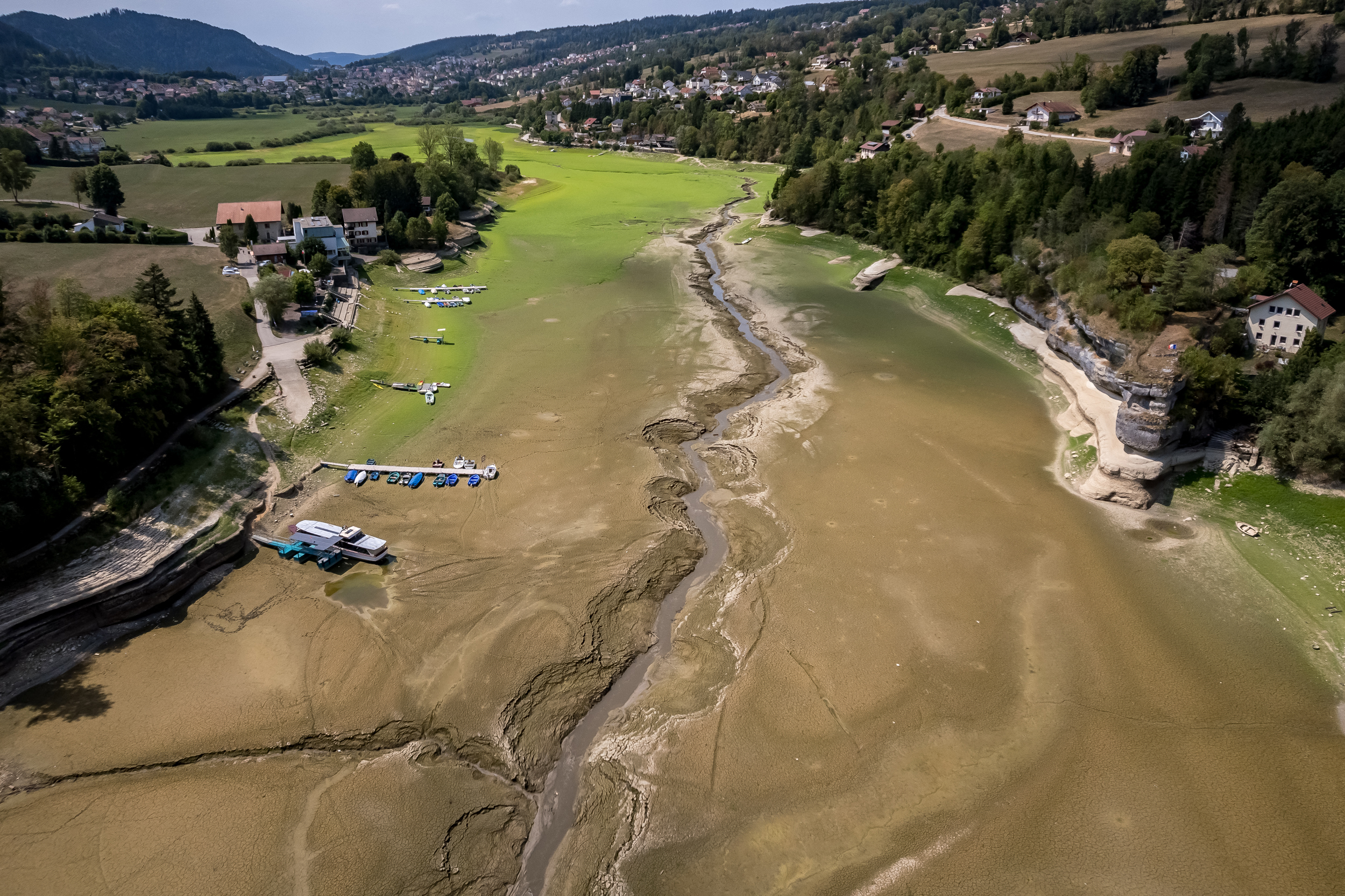
- BBC Verify satellite images reveal the visible impact of Europe's summer heatwaves since May — shrunken glaciers, scorched wildfire areas, arid fields, and lower river levels, with landmarks like the Palace of Versailles appearing as an island of trees surrounded by brown fields.
- The Danube dropped to its lowest level in 30 years in several countries, exposing mammoth bones in Bulgaria and a WW2 warship in Serbia, while nuclear power stations in Hungary and Romania shut down or ran at reduced capacity due to cooling water constraints.
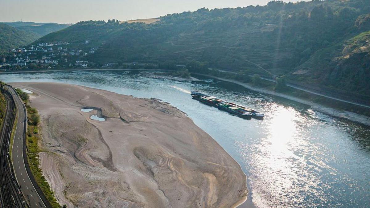
- On the Rhine, cargo vessels were stranded and river cruises cancelled as water levels fell.
- The Rhône Glacier in Switzerland retreated by 50m (160ft) or more since the same time last year, with this summer on track to be one of the worst ever recorded for Alpine glacier melt, per Dr Lander van Tricht.
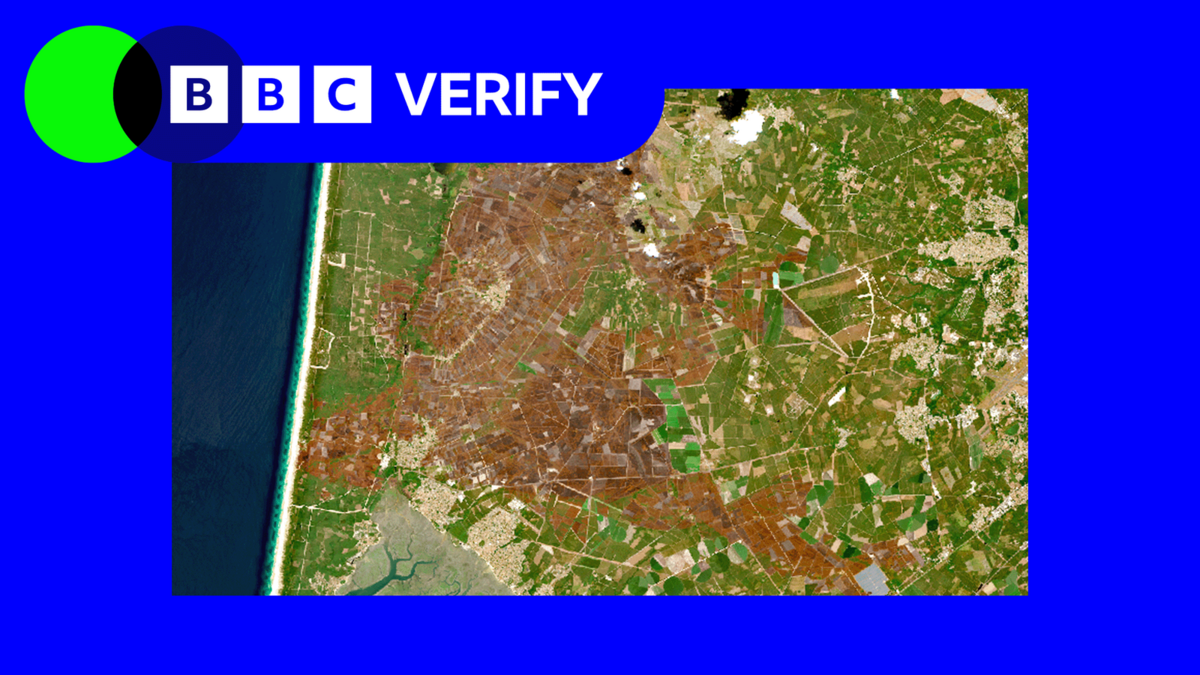
- France recorded its worst wildfire year on record with over 90,000 hectares burned, including a ~42,000-hectare fire in Gironde, according to the European Forest Fire Information System.
- NDVI data shows vegetation stress across roughly 70% of France, close to half the UK, and 40% of western Germany, with soil moisture in worst-hit areas lower than 98% of comparable historical dates — conditions Prof Andrew Challinor warned could hit the agriculture industry and food production.
Why it matters: These satellite views confirm Europe's critical systems — river transport, nuclear cooling, glacier mass, and agriculture — are already failing under current heat, not future projections. Prof Luis Samaniego's warning that agricultural damage may already be irreversible even if rain returns matters most: with 70% of France under documented water stress, the continent's food production is no longer a hypothetical.
Ask SkimNews