A new plan to preserve Georgia’s marshes: Give them space to migrate — SkimNews
Get the Energy newsletter
Daily energy & climate — solar, EVs, oil, the policy fights and tech bets shaping the transition. Free.
- Georgia Conservancy and partners identified more than 56,000 acres of land currently open to development where marshes are projected to migrate inland, as part of the multi-state South Atlantic Salt Marsh Initiative led by the group's coastal director Courtney Reich.
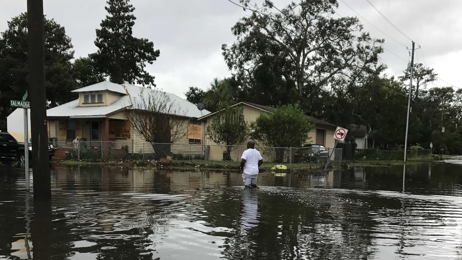
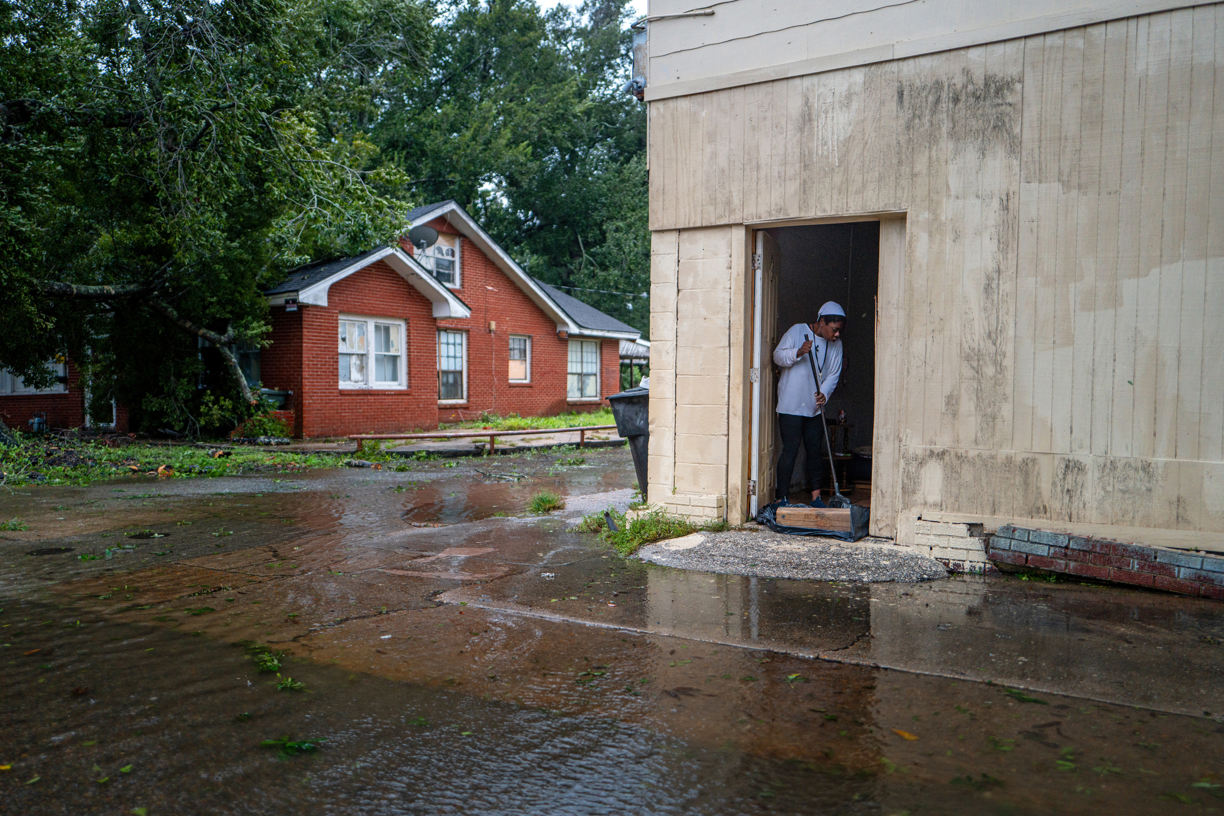
- Sea levels on Georgia's coast are projected to rise 1 to 2 meters in the next 75 years, and once migrating marshes hit a road or building they become a "dead end," leaving rising tides nowhere to go but into that infrastructure.
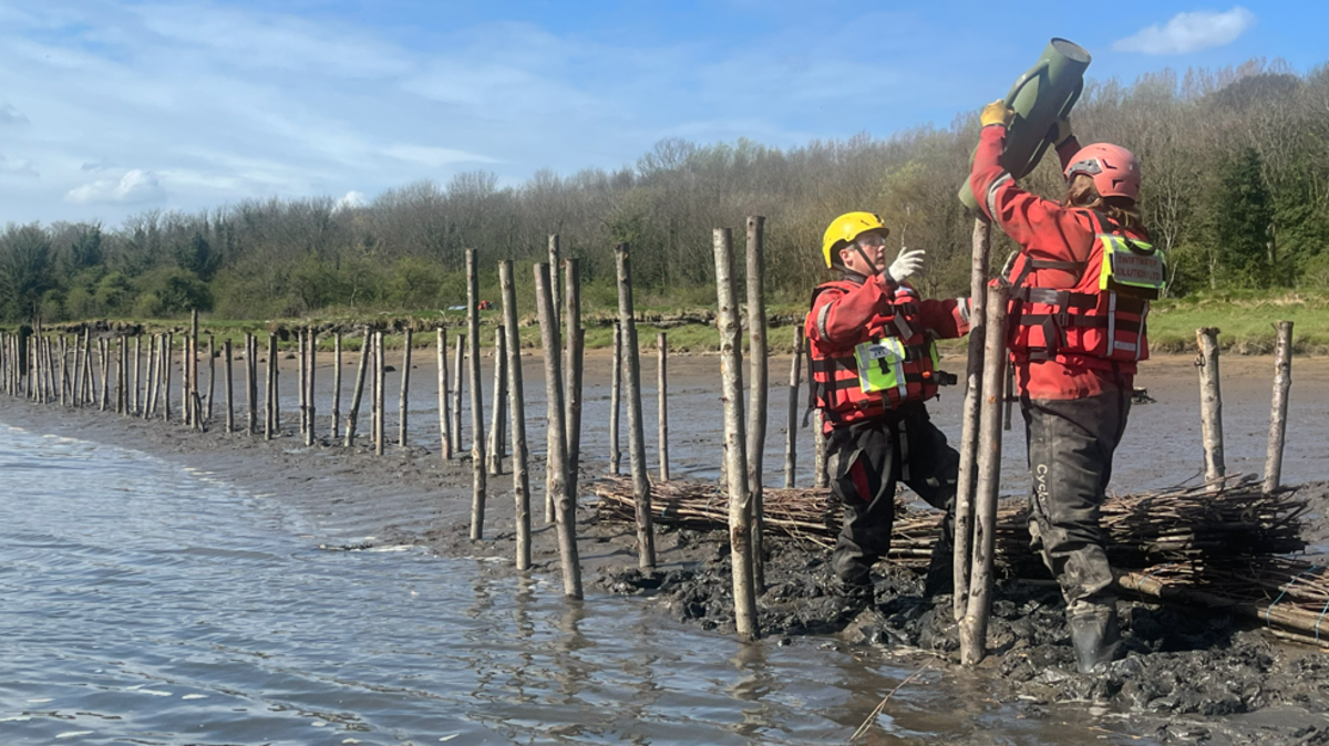
- Liberty County, near the town of Midway, is restoring natural marsh grasses along an eroded bank — losing about 6 to 8 feet in recent years — using a "living shoreline" built by Zulu Marine instead of concrete or bulkheads.
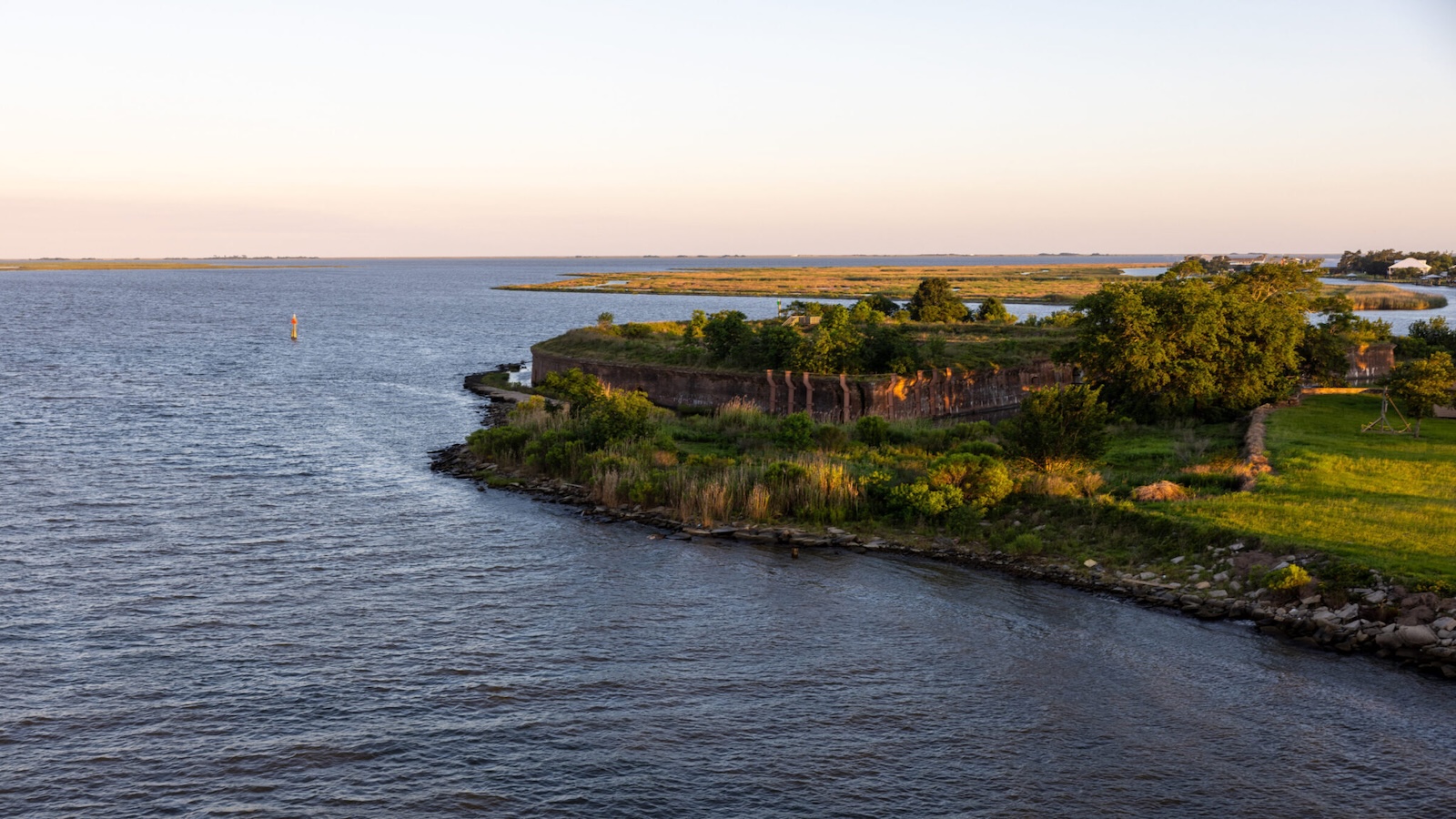
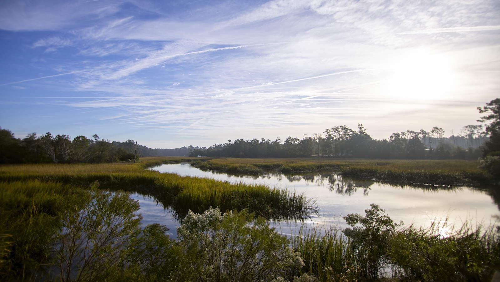
- Georgia contains more than a third of the connected salt marsh habitat along the southeastern U.S. coast — hundreds of thousands of acres that serve as a storm buffer and are broadly protected under state law.
- The plan is voluntary — described as a "roadmap, not a binding policy or seizure of anyone's land" — intended to prompt landowners and officials to weigh long-term coastal change against short-term development pressures.
- University of North Carolina wetland scientist Lori Sutter said the "magic" of salt marshes is their ability to persist under twice-daily flooding, but only if they have somewhere inland to go.
Why it matters: Georgia holds more than a third of the southeastern U.S.'s connected salt marsh — the region's chief storm buffer — and the plan flags 56,000 acres of developable land where that buffer could be permanently blocked by buildings or roads, leaving coastal communities exposed to unabated flooding within the 75-year window scientists project.
Ask SkimNews