Extreme Southwest Flooding Tied to Record El Niño — SkimNews
Get the Energy newsletter
Daily energy & climate — solar, EVs, oil, the policy fights and tech bets shaping the transition. Free.
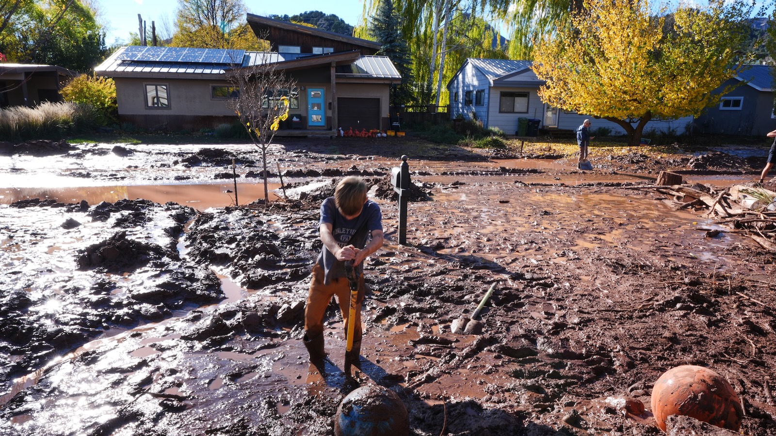
- Southwest experienced extreme flooding in September and October, with Clovis, New Mexico receiving 28.84 inches of rain since September 20—more than eight times its average—leading to deadly flash floods and widespread destruction.
- El Niño is intensifying weather patterns across the southern U.S., injecting heat and moisture into the atmosphere and increasing the likelihood of extreme precipitation events in the Southwest, according to NOAA and climatologists.
- Pacific Ocean temperatures are exceptionally high, contributing to 10 hurricanes in the western Pacific this season while suppressing Atlantic hurricanes due to atmospheric wind disruptions caused by El Niño.
- Russ Schumacher noted that saturated soils and high river levels from prior storms primed the region for worse flooding during subsequent storms, increasing runoff and flash flood risks in Arizona, Colorado, Utah, and New Mexico.
- Michael A. Crimmins emphasized that while El Niño increases the odds of heavy rainfall, such extreme events would be far less likely without its influence, highlighting the climate phenomenon’s role in aligning atmospheric conditions.
- Water agencies in cities like Tucson are adopting green infrastructure—such as dirt spaces that hydrate native plants—to slow stormwater flow, treating rain as a resource rather than a hazard to mitigate future flooding.
Why it matters: The combination of record El Niño strength and already-hot Pacific waters is driving extreme moisture into the Southwest, where aging infrastructure and saturated ground increase flood risks. While more winter precipitation could temporarily ease drought stress on reservoirs like Lake Powell and Lake Mead, one season of rain won’t reverse decades of decline, and the region remains vulnerable to both flooding and long-term water scarcity.
Ask SkimNews


