UN Adopts Equal Earth Map to Correct Geographic Bias — SkimNews
Get the Culture newsletter
Daily culture — film, music, books, the trends and ideas worth your attention. Free.
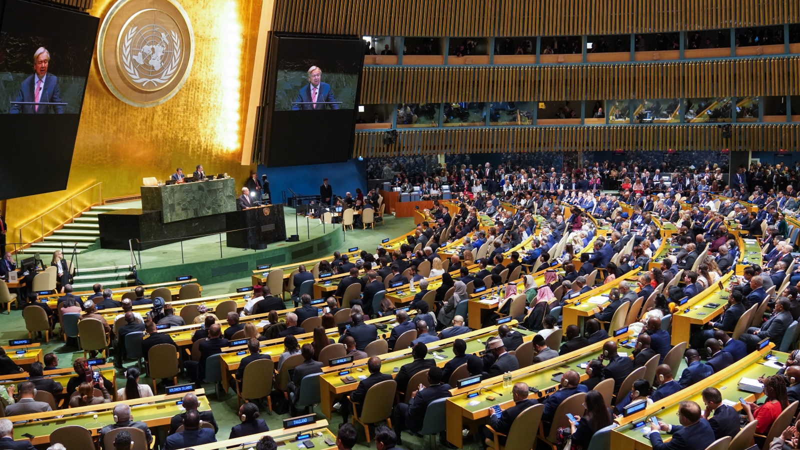
- Equal Earth projection was adopted by the UN last week as an alternative to the 16th-century Mercator map, aiming to represent landmasses with greater size accuracy
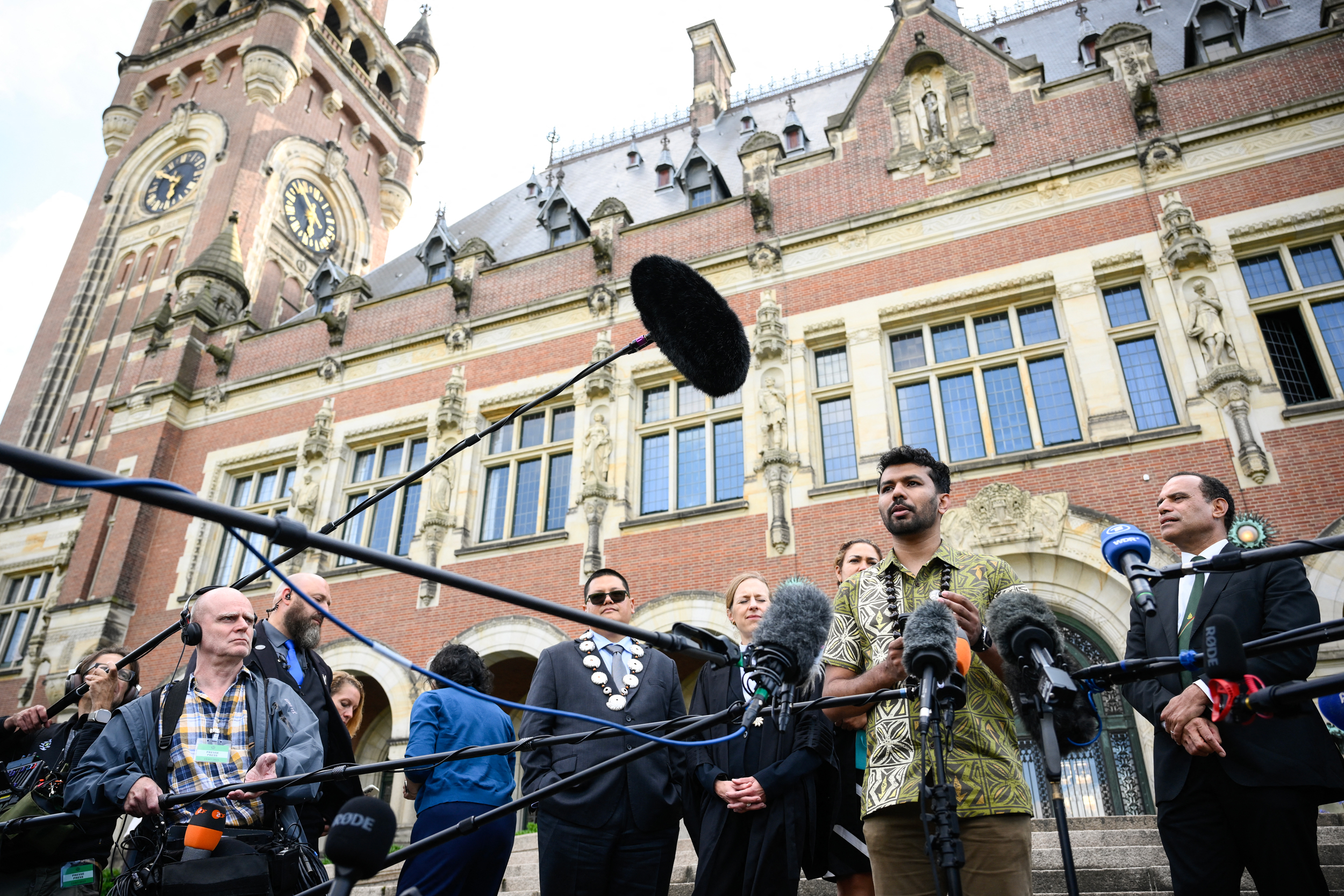
- Three cartographers expressed astonishment at the near-universal adoption of their map, which they designed specifically to correct the visual distortion of Africa and Europe’s relative sizes
- Mercator projection, developed in the 1500s, has long exaggerated the size of northern countries while shrinking those near the equator, reinforcing colonial-era geographic perceptions
- UN adoption marks a significant shift toward more equitable cartographic standards, signaling institutional recognition of how maps can reflect or challenge geopolitical bias
Why it matters: The Equal Earth map’s adoption challenges centuries of distorted geography that minimized regions like Africa, giving formerly marginalized areas more accurate global prominence. For educators and policymakers, this shift offers a tool to counteract embedded Western bias in how the world is visually understood.
Ask SkimNews