Sun Returns for UK Weekend as Drought Deepens — SkimNews

Get the Energy newsletter
Daily energy & climate — solar, EVs, oil, the policy fights and tech bets shaping the transition. Free.
- High pressure is set to build across the UK over the next few days, bringing drier weather for the weekend after heavy downpours earlier in the week caused some flash flooding.
- Friday will see further heavy showers in England and Wales — some potentially thundery — while most of Scotland and Northern Ireland stay dry, with brisk northerly winds keeping coastal areas cool.
- Temperatures on Friday will peak at just 12C in northern Scotland and 21C in southern England; if the UK fails to reach 25C anywhere, it will be the first time since 29 June.
- Friday night is expected to be notably chilly, with temperatures dropping to 3-4C in rural parts of Scotland and northern England.
- By Sunday, afternoon highs will reach 16-20C in Scotland and Northern Ireland and 19-25C across England and Wales, around or just above the seasonal norm.
- The National Drought Group announced on Thursday it will begin meeting weekly instead of monthly to coordinate the ongoing drought response.
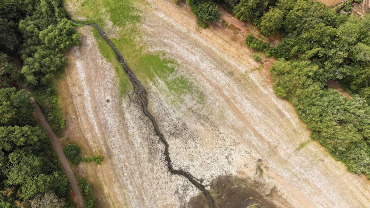
- Over two-thirds of England and all of Wales remain in drought, with officials warning the situation is still intensifying despite this week's rain, and that months of sustained, significant rainfall will be needed to replenish reservoirs, rivers, and groundwater.
Why it matters: Despite this week's rain, over two-thirds of England and all of Wales remain in drought, prompting the National Drought Group to shift from monthly to weekly meetings as officials warn reservoirs, rivers, and groundwater will only recover after months of sustained significant rainfall.
Ask SkimNews