UK could see 10 days without rain after 'wettest week in two years' — SkimNews

Get the Energy newsletter
Daily energy & climate — solar, EVs, oil, the policy fights and tech bets shaping the transition. Free.
- UK — high pressure will stay over or close to the country for at least 10 days, delivering a prolonged, largely dry spell with light winds and little prospect of significant rainfall into early November.
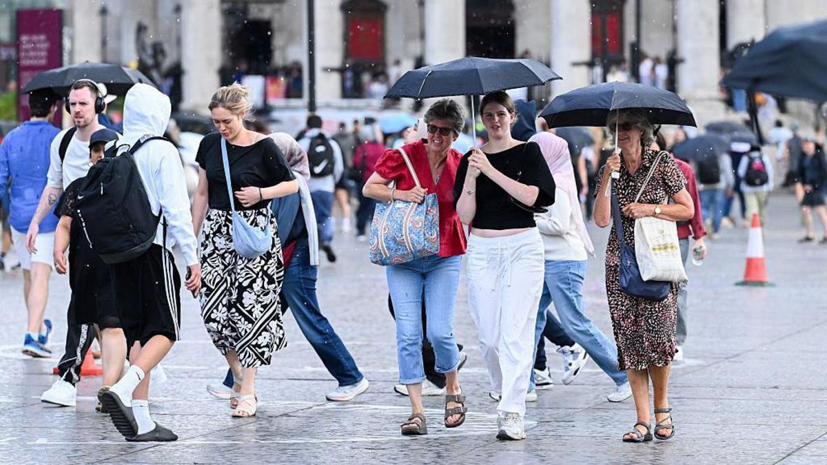
- Environment Agency said England experienced its wettest week in two years, with rainfall from Storms Austen and Bóelo, plus another area of low pressure on Monday, contributing to the record.
- Storm Bóelo and Storm Austen were the UK's first named storms of the season, and Bóelo was notable for the sheer volume of rain it brought during an unsettled end to October featuring back-to-back storms.
- Morning fog will persist throughout, with dense patches slow to clear and flagged for reduced visibility and travel disruption; once it lifts, brighter spells develop, though some areas of low cloud linger.
- Temperatures are forecast to edge lower over the coming days, with the cooler feel concentrated overnight and in the early mornings.
- Western Isles of Scotland — Halloween Saturday evening is largely dry across most of the UK, with a few spells of rain possible in the Western Isles, while clearer skies dominate elsewhere as darkness falls.
- El Niño in the Pacific Ocean is intensifying and has been linked to wetter, stormier UK weather in late autumn and early winter, as signs point to high pressure loosening its grip around mid-November and Atlantic lows bringing average or above-average rainfall to most areas.
Why it matters: For anyone planning travel or outdoor events over the next 10 days, the operative hazard shifts from rain to dense, slow-clearing morning fog, which the forecast flags for reduced visibility and travel disruption. The dry window also has a shelf life: around mid-November, Atlantic lows return with average or above-average rainfall for most areas.
Ask SkimNews