UK Still Awaits First Named Storm as El Niño Builds — SkimNews

Get the Energy newsletter
Daily energy & climate — solar, EVs, oil, the policy fights and tech bets shaping the transition. Free.
- The UK has yet to record its first named storm of the season because deep Atlantic lows have been steered away by dominant areas of high pressure, with only the north-west seeing occasional bouts of stronger winds.
- The jet stream has largely sat to the north or north-west of the UK this autumn, pulling up warmer-than-normal south or south-westerly winds and reducing rainfall across much of England and Wales.
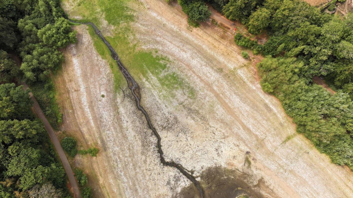
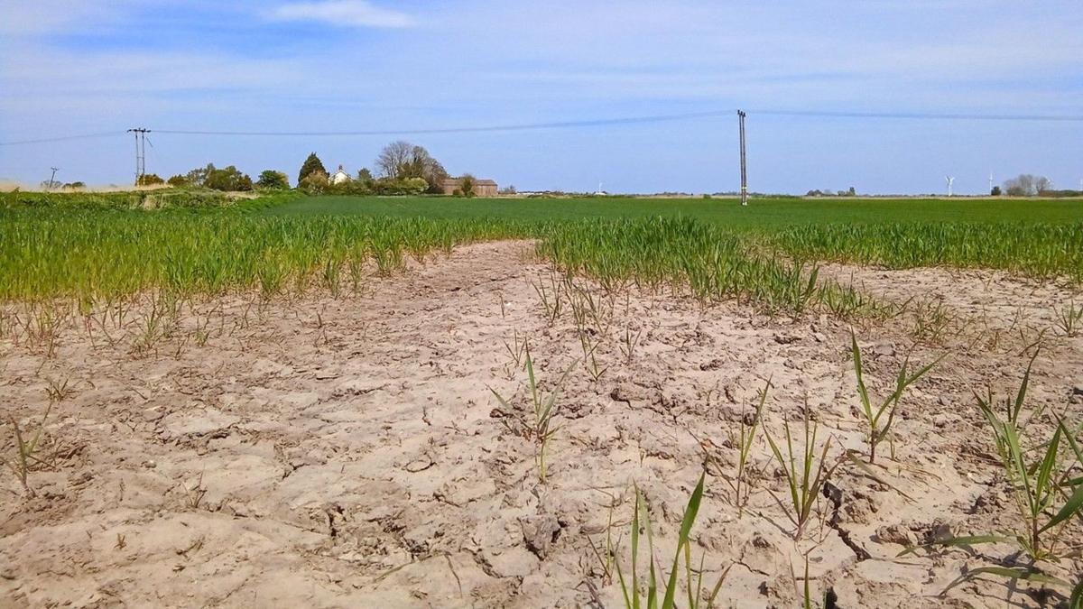
- Herefordshire has received only about a tenth of its normal mid-October rainfall so far this month, and parts of southern England have seen reservoir levels drop so low that the Environment Agency has declared "severe drought" in some areas.
- The Met Office's three-month outlook for October–December forecasts double the normal chance of wetter weather and 1.3 times the normal chance of windier weather — a pattern it links to previous El Niño events as the Pacific phenomenon strengthens.
- A jet-stream shift is expected through the coming week, which forecasters say could allow deeper low-pressure systems to reach more of the UK and bring the first spell of widely disruptive weather this season.
- The western storm-naming group — the UK, Ireland and the Netherlands — has been naming storms jointly since 2015, and in roughly half of those seasons the first named storm did not arrive until after 1 November.
Why it matters: The same persistent high pressure that has blocked UK storms has also driven the southern England drought severe enough for Environment Agency action, so any jet-stream shift that finally delivers a named storm will arrive into catchments that are already parched — making the first disruptive system of the season a higher-stakes flood risk than usual.
Ask SkimNews