Drone Mapping Aids Wild Rice Restoration, Funding Cut — SkimNews
Get the Energy newsletter
Daily energy & climate — solar, EVs, oil, the policy fights and tech bets shaping the transition. Free.
- Drone technology can detect where wild rice grows, a finding that could aid restoration projects.
- Madeline Nyblade concluded that warmer winters and wetter summers stress wild rice, linking climate change to its decline.
- Trump administration pulled funding for the Intertribal Winnebago Wild Rice Revitalization Project, jeopardizing long‑term restoration.
- Intertribal Winnebago Wild Rice Revitalization Project mapped seven wild‑rice habitats in Lake Winnebago and established baseline water‑quality data with the University of Wisconsin‑Madison and the Wisconsin Department of Natural Resources.
- Bazile Minogiizhigaabo Panek co‑authored research showing that cutting back competing vegetation and lowering water levels during key periods can slow the plant’s decline.
- White Earth Band of Ojibwe enacted a 2018 ordinance recognizing manoomin’s inherent rights and sued the Minnesota DNR to block a pipeline, though an appeals court ruled the tribal court lacked jurisdiction.
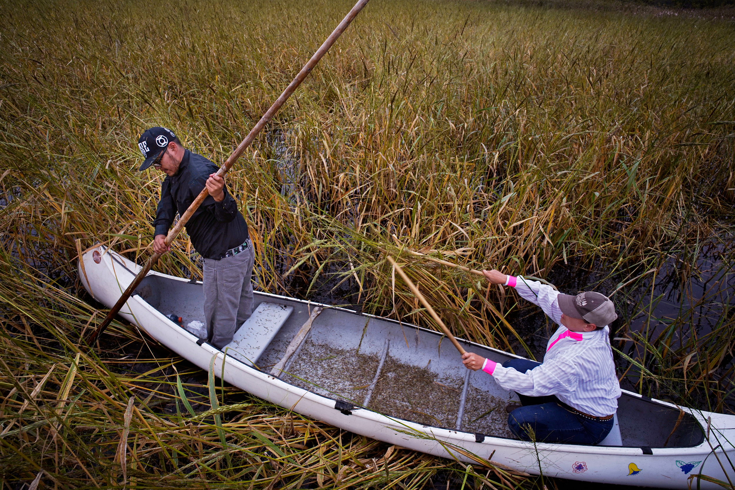
- Lake Winnebago’s wild‑rice habitats provide ecological benefits to the lake and wetlands and support food sovereignty and cultural revitalization for Indigenous communities.
Why it matters: Indigenous communities and lake ecosystems stand to gain from restored wild‑rice habitats, which support food sovereignty and ecological health, while the Trump administration’s funding cuts jeopardize ongoing monitoring and restoration. Drone‑based mapping and vegetation management provide a cost‑effective tool, but without federal support tribes and NGOs must rely on private fundraising, stretching limited resources and risking further decline.
Ask SkimNews