UK thunderstorms bring flood risk and cooler weather — SkimNews
Get the Energy newsletter
Daily energy & climate — solar, EVs, oil, the policy fights and tech bets shaping the transition. Free.
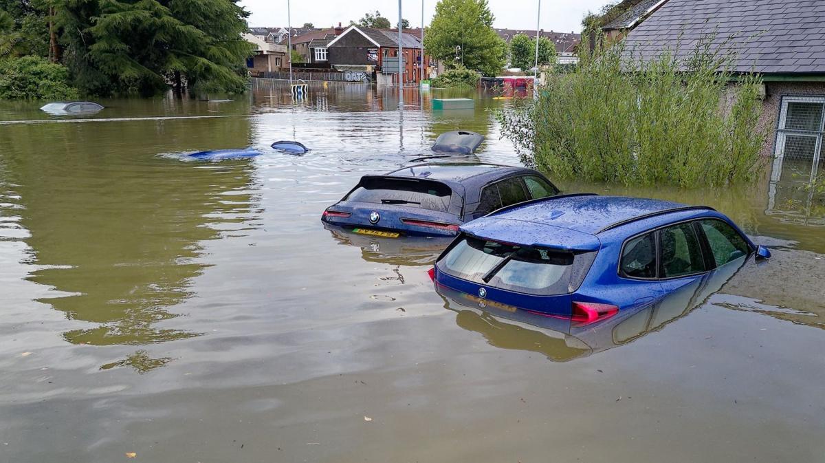
- The Met Office yellow thunderstorm warning remains in force across northern England and north Wales until 10:00 BST on Thursday, with 15-20mm of rain possible in one hour and 30-50mm over six hours.
- Low pressure has taken control after a summer largely dominated by high pressure, creating unstable air and storm clouds capable of producing torrential rain, hail and thunder.
- Showers will move south and east into Wales, the Midlands, East Anglia and southern England, while Scotland and Northern Ireland are forecast to see less intense rainfall and fewer thunderstorms.
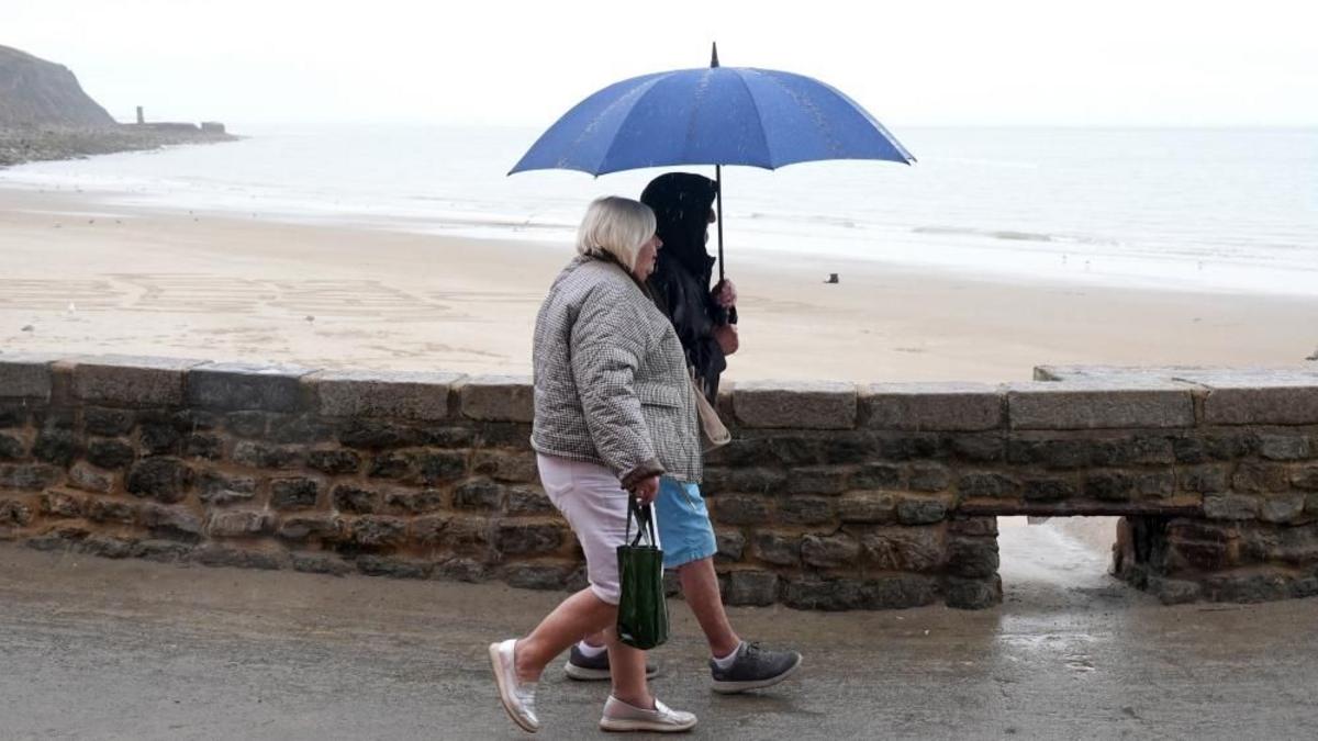
- RAC road safety spokesperson Rod Dennis warned that light rain mixes oil, fuel and rubber deposits accumulated during the dry spell, increasing the risk of skidding on greasy roads.
- The UK drought will not immediately end, according to experts; sustained persistent rainfall is needed to replenish water stocks, and the outcome is unlikely to be known until late winter.
- Aultbea recorded 389.6mm of rain so far this summer, more than one and a half times its seasonal norm and only 10.2mm short of its wettest summer on record.
- Temperatures are forecast to reach 13-23C on Thursday, the first day since 29 June when the UK is expected to miss 25C anywhere, with Friday-night lows of 3-4C in parts of Scotland and northern England.
Why it matters: Drivers face a two-part safety concern: the Met Office warning covers northern England and north Wales until 10:00 BST, with 15-20mm in one hour and 30-50mm over six hours. Wet roads, hail, lightning and flash flooding create the immediate risk of skids and travel disruption.
Ask SkimNews