What is El Niño and why could it mean record temperatures? — SkimNews
Get the Energy newsletter
Daily energy & climate — solar, EVs, oil, the policy fights and tech bets shaping the transition. Free.
- NOAA announced that sea surface temperatures in the central tropical Pacific are more than 0.5 °C above average, that a new El Niño phase has begun, and that there is a 63 % chance it will become “very strong”, ranking among the largest events since 1950.
- Japanese Meteorological Agency confirmed that El Niño conditions are present.
- World Meteorological Organization reported that deep‑sea heat in the Pacific is about 6 °C above average in places, a condition that can precede surface warming.
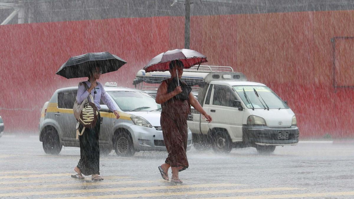
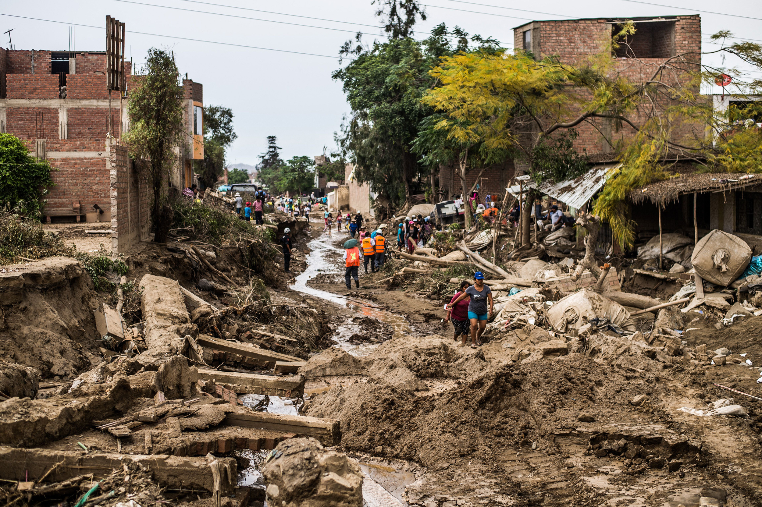
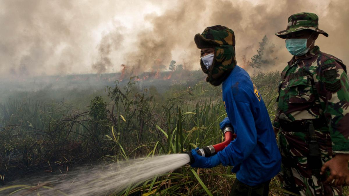
- Celeste Saulo warned that a strong El Niño will exacerbate drought, heavy rainfall, heatwaves, weaken the Indian monsoon, increase flooding risk in the southern United States, and alter UK winter patterns.
- UN Secretary General António Guterres warned that El Niño will “pour fuel on the fire of a warming world” and that impacts will spread faster across borders with devastating speed.
- IPCC noted that while El Niño events since 1950 have been stronger than those in earlier centuries, there is no clear evidence that climate change has altered them, though some models suggest future episodes could be more frequent and intense.
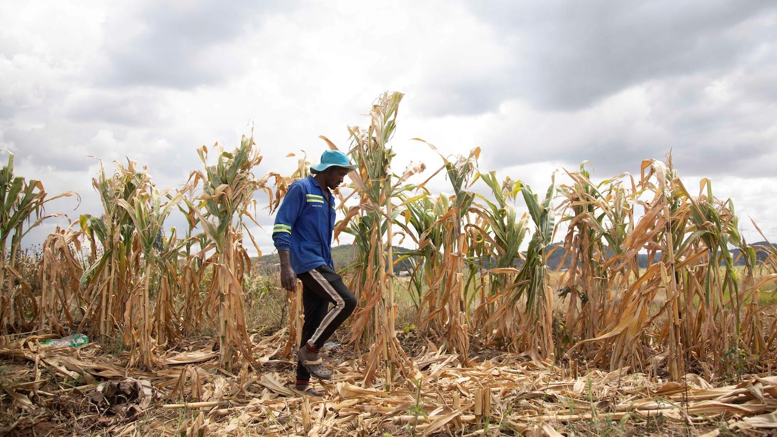
Why it matters: Farmers in South America and Southeast Asia risk crop losses as a strong El Niño threatens drought and heatwaves, while fishing communities face smaller catches; consumers confront higher food prices, and the UN warns the combined effect of natural variability and human‑driven warming will intensify heat and disrupt food supplies worldwide.
Ask SkimNews