El Niño under way and threatens weather extremes, scientists say — SkimNews
Get the Energy newsletter
Daily energy & climate — solar, EVs, oil, the policy fights and tech bets shaping the transition. Free.
- NOAA declared El Niño conditions under way in the tropical Pacific, with sea surface temperatures crossing the 0.5°C-above-average threshold that defines an event
- NOAA's June outlook gives a 63% chance of a "very strong" El Niño (above 2°C above average) during November–January, potentially ranking among the largest events since 1950
- US and European (ECMWF) models show tropical Pacific temperatures potentially climbing more than 3°C above average by year-end — a level of early confidence researchers called surprising
- Prof Adam Scaife of the UK Met Office warned the event is "riding on top of a substantial amount of global warming," meaning affected regions could see unprecedented temperatures, with 2027 likely to push annual warming above 1.5°C
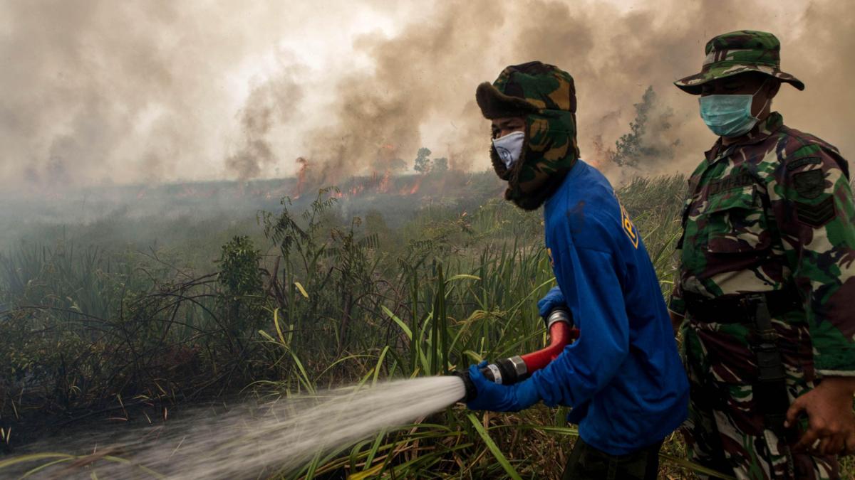
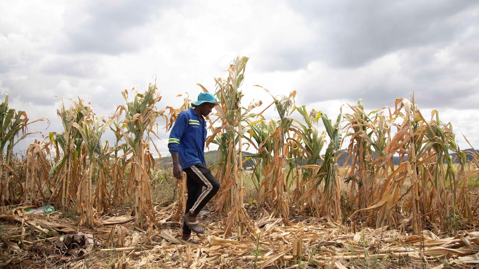
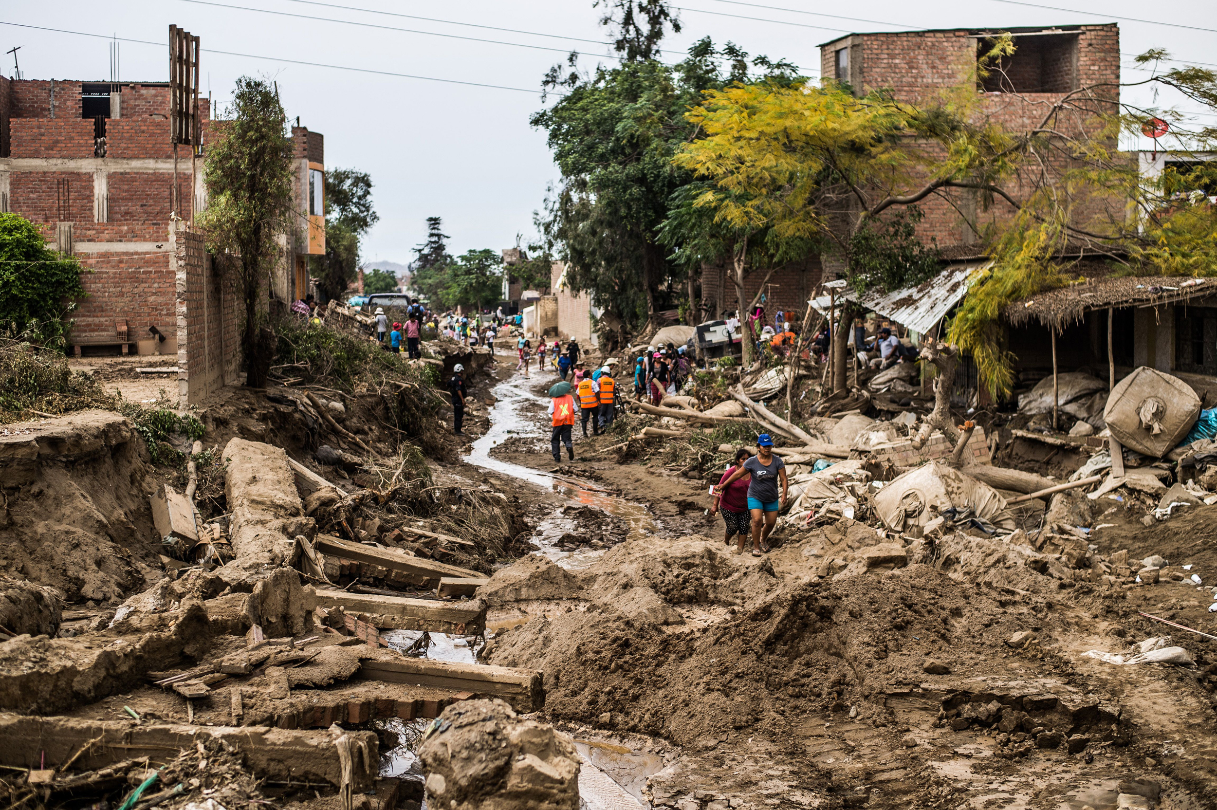
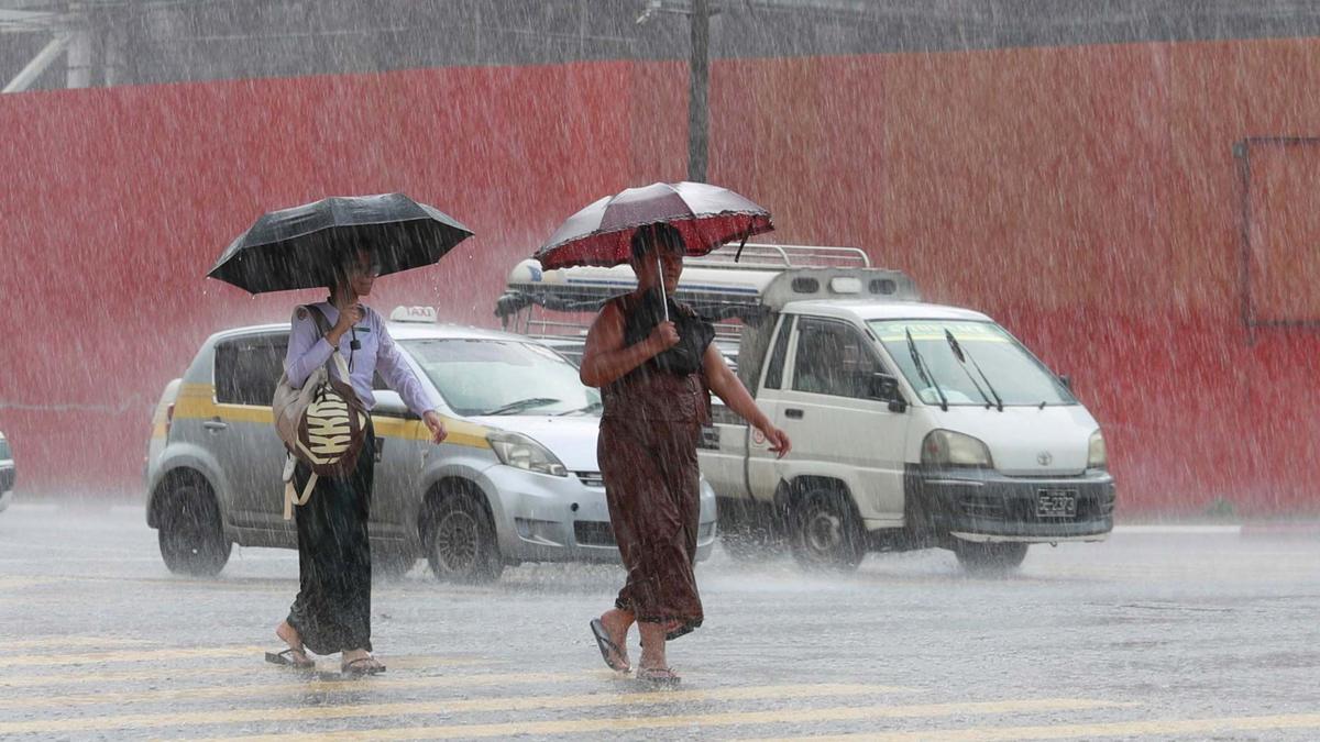
- Regional impacts include flooding in northern Peru and southern Ecuador, drought and wildfire risk across Australia, Indonesia, and northern South America, and suppressed Atlantic hurricanes that also mean less rainfall for Central America
- Australia's Bureau of Meteorology has not formally declared El Niño, using a stricter 0.8°C threshold, while Japan's Meteorological Agency agrees with NOAA that conditions are present
Why it matters: NOAA's 63% forecast for a very strong El Niño stacks onto a planet that just posted its warmest year in 2024, with Prof Scaife saying 2027 will likely push annual warming above 1.5°C. The tropics bear the worst: failed rains, crop loss, and food-price shocks for communities Mohamed Adow of Power Shift Africa called "already battered by droughts and floods in recent years."
Ask SkimNews