UK Still Awaits First Named Storm as Drought Deepens — SkimNews

Get the Energy newsletter
Daily energy & climate — solar, EVs, oil, the policy fights and tech bets shaping the transition. Free.
- The jet stream has sat predominantly to the north or north-west of the UK this autumn, steering storms away and delivering warmer-than-normal south-westerly winds under high-pressure dominance.
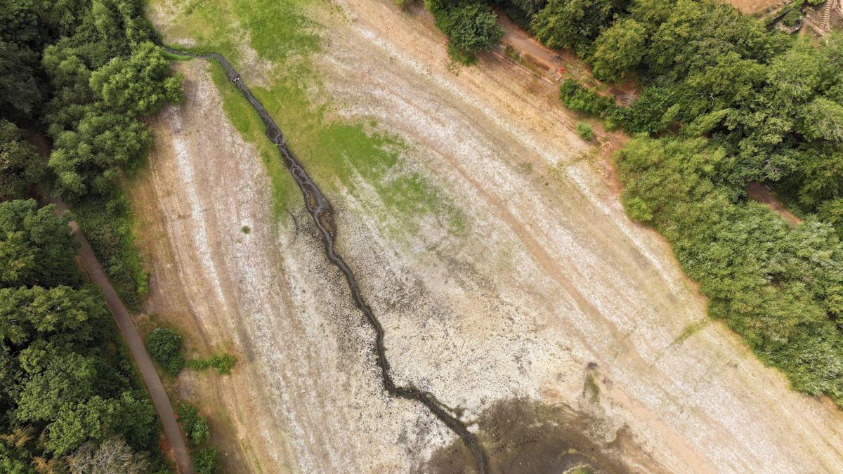
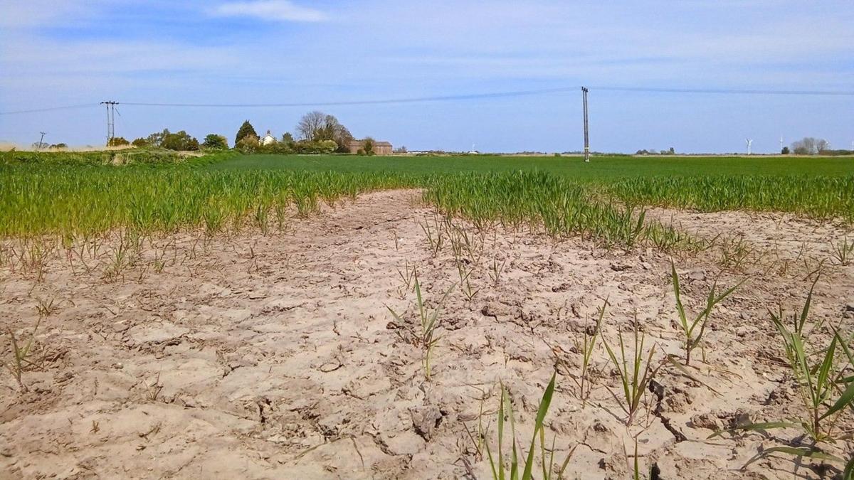
- Herefordshire has received only about a tenth of its normal mid-October rainfall so far this month, while parts of southern England prompted the Environment Agency to declare 'severe drought' over exceptionally low reservoir levels.
- The Met Office's three-month outlook for October through December doubles the normal chance of wetter weather and raises the chance of windier conditions 1.3 times normal, patterns consistent with strengthening El Niño in the Pacific.
- Storm-naming in the western group (UK, Ireland, the Netherlands) began in 2015 and is handled by the Met Office, Met Éireann and the Netherlands' KNMI based on expected impacts, with storms most common in winter months and May being the only month yet to produce one.
- Roughly half of the seasons since 2015 have seen the first named UK storm arrive after 1 November, making a late start not unusual even as the coming week brings a potential shift to wetter and windier conditions.
Why it matters: The same blocking pattern shielding the UK from Atlantic storms has stripped southern England of rainfall, with Herefordshire at one-tenth of normal and the Environment Agency declaring severe drought, so a shift in the jet stream would deliver both the season's first named storm and badly needed rain within the same weather systems.
Ask SkimNews